Het elektriciteitsnet van Oost-Timor blijft in hoge mate afhankelijk van geïmporteerde diesel; twee dieselcentrales zorgen voor het overgrote deel van de elektriciteitsproductie. Door de sterke afhankelijkheid van geïmporteerde fossiele brandstoffen is het systeem kwetsbaar voor schokken in brandstofprijzen en -levering, waardoor het staatsnutsbedrijf Electricidade de Timor-Leste (EDTL) niet in staat is de leveringskosten terug te verdienen; in 2023 zal het slechts ongeveer 27 % van zijn uitgaven kunnen terugverdienen. Omdat het systeem zo smal is opgezet, kampt het land met aanhoudende energieonzekerheid en hoge kosten, terwijl er nauwelijks gedistribueerde hernieuwbare energieopwekking is die technische verliezen zou kunnen verminderen en de betrouwbaarheid van de lokale bevoorrading zou kunnen versterken. De afgelopen jaren heeft dit de structurele kwetsbaarheid van de energiezekerheid van het land versterkt, wat de noodzaak onderstreept om de opwekkingsmix te diversifiëren en schonere, betaalbaardere energiebronnen uit te breiden.
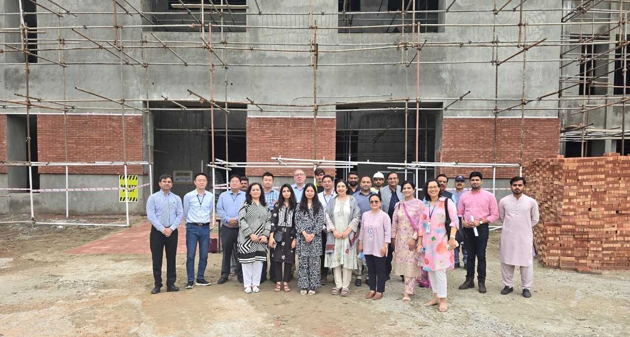
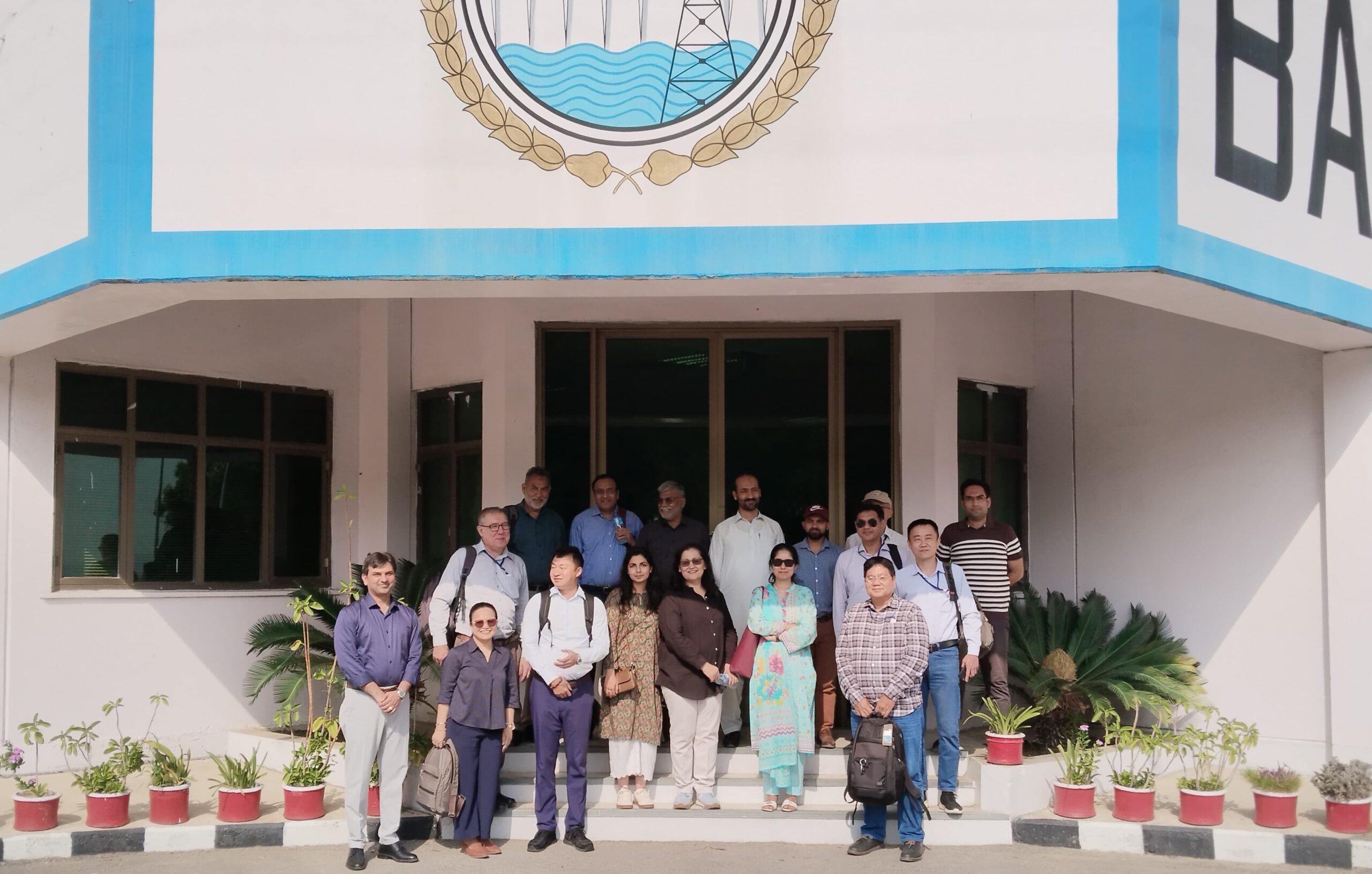
Met steun van de Aziatische Ontwikkelingsbank wil de regering van Oost-Timor deze knelpunten aanpakken door een bestaande installatie voor hernieuwbare energie te renoveren, waarbij gebruik wordt gemaakt van de bestaande tracévoering, waterinlaten en netaansluiting van de Gariuai-minikrachtcentrale en waarbij knelpunten op het gebied van grondverwerving en vergunningverlening worden vermeden. De 326 kW sterke, door bronwater gevoede riviercentrale, gelegen nabij Baucau aan de noordkust, was het eerste waterkrachtproject van het land en zal, zodra deze is hersteld, naar verwachting hernieuwbare elektriciteit leveren aan het nationale net en de op diesel gebaseerde opwekking vervangen. Het project heeft drie belangrijke resultaten:
- Het herstel en de heringebruikname van een klimaatbestendige mini-waterkrachtcentrale en de bijbehorende transmissieverbinding, waarbij gestandaardiseerde technische en prestatie-eisen worden gedocumenteerd met het oog op replicatie,
- Versterking van de institutionele capaciteit van EDTL om klimaatbestendige gedistribueerde hernieuwbare energieopwekking te beheren, te exploiteren en te onderhouden, en
- Het bijwerken van het nationale masterplan voor waterkracht om de haalbaarheid van het project opnieuw te beoordelen en richting te geven aan de toekomstige ontwikkeling van hernieuwbare energie in heel Oost-Timor.
Om de blootstelling en kwetsbaarheden van de projectonderdelen aan potentiële klimaatrisico’s te beoordelen, is een gedetailleerde Climate and Disaster Risk and Adaptation (CDRA)-beoordeling uitgevoerd, waarbij gebruik is gemaakt van de meest recente klimaatprognoses, relevante gegevens over gevaren en lokale informatie. De verkregen inzichten stellen de ADB in staat om effectieve aanpassings- en mitigatiemaatregelen in het projectontwerp te integreren, de veerkracht van het gedistribueerde hernieuwbare energiesysteem te versterken en te zorgen voor klimaatbestendige ontwikkeling binnen de water-energie-nexus.