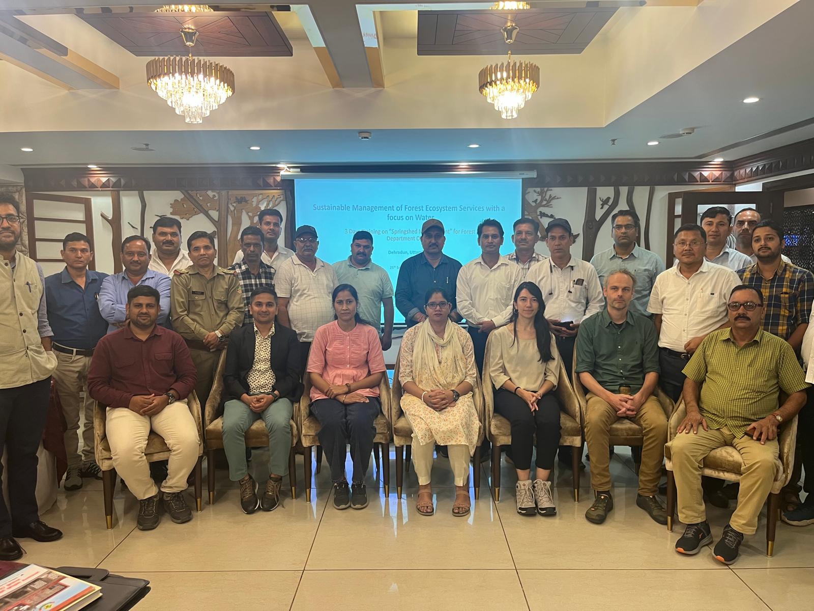
To this end, FutureWater, in collaboration with unique land use GmbH and the Central Himalayan Rural Action Group, is conducting a training program on Springshed Management in four states, Uttarakhand, Himachal Pradesh, Madhya Pradesh, and Uttar Pradesh India. The program aims to equip the local stakeholders with practical tools and best practices for managing springshed and springs in the region. The key beneficiaries of these trainings are the forest departments of these four states under the Ministry of Environment, Forestry and Climate Change (MoEF&CC). Funded by GIZ India, these trainings will covers key topics, including:
Concepts of springs and springshed management protocols and best practices
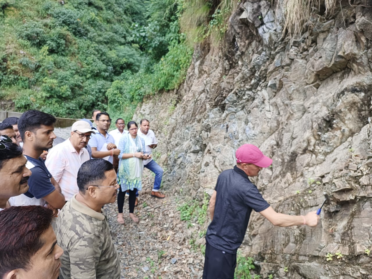
Hydro-geological data collection during a field expedition
Springshed mapping
Connecting forest ecosystem services to water resources
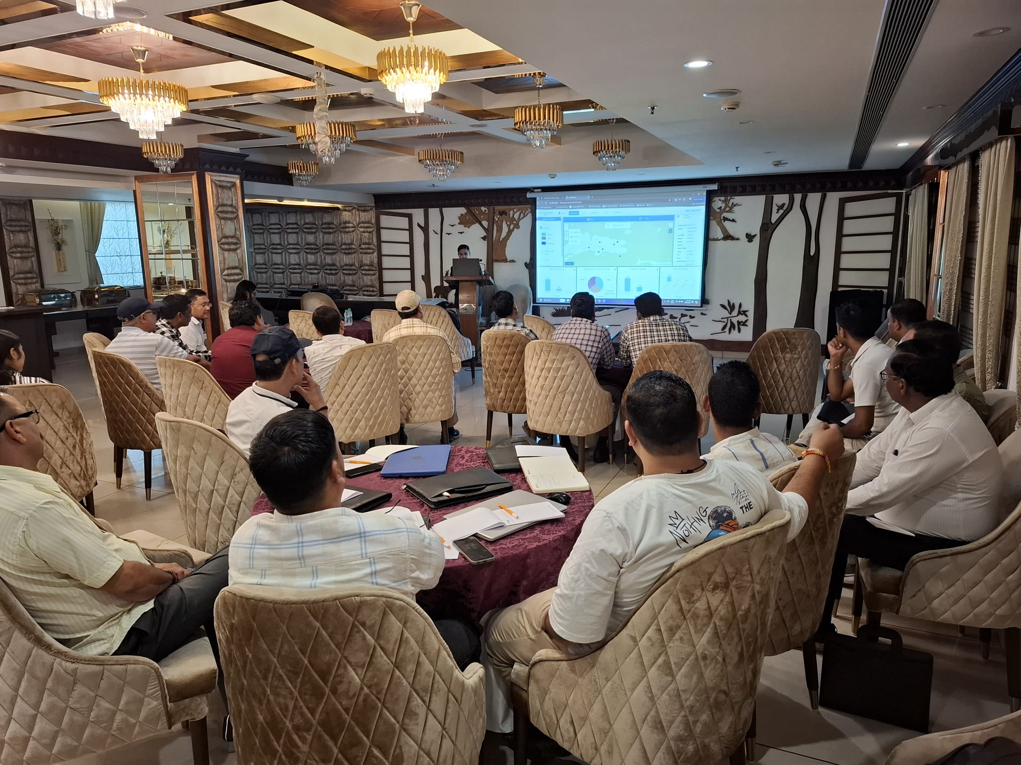
For the first round of training the consortium will start training with the Uttarakhand Forest Department (UKFD) in Dehradun, India. This initiative aims to strengthen sustainable water management practices and safeguard these critical water sources for future generations.
Springs in the Hindu Kush Himalaya (HKH) region are essential for water security, agriculture, economic activities, ecosystem services, biodiversity, and cultural heritage. They sustain nearly 240 million people, including 50 million in India who depend directly on these springs for their water needs.
However, almost half of the perennial springs in the Indian Himalayan Region (IHR) have either dried up or become seasonal, causing severe water shortages in thousands of villages. If left unaddressed, the depletion of these springs will continue to have devastating impacts on local ecosystems, economies, and livelihoods.
With the first round of training successfully completed, this initiative aims to strengthen sustainable water management practices and safeguard these critical water sources for future generations.
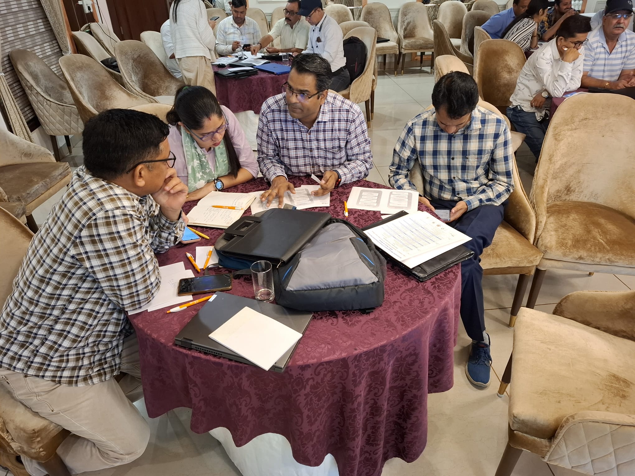
Training venueGroup discussionGroup pictureField expedition
Uzbekistan is one of the fastest-growing economies in Central Asia, driving a steady rise in energy demand. However, the country faces significant power shortages due to increasing consumption, declining efficiency of aging power plants, and mounting climate pressures, particularly in regions like Tashkent, Samarkand, and Sirdarya. In response, Uzbekistan is prioritizing renewable energy development, especially solar power, to reduce its reliance on fossil fuels. With its abundant sunlight, the country is well-positioned to harness solar energy, and several large-scale photovoltaic (PV) projects are currently in progress.
With the support of the Asian Development Bank, Uzbekistan aims to strengthen energy security and promote environmental sustainability by developing three solar PV plants (100 MW, 400 MW, and 500 MW), two substations, two battery energy storage system (BESS) facilities, and associated transmission lines across Samarkand, Bukhara, Jizzakh, Sirdarya, and Tashkent provinces. To identify the exposures and vulnerabilities of these project components to potential climate risks, FutureWater will utilize advanced downscaled Coupled Model Intercomparison Project Phase 6 (CMIP6) ensembles, along with relevant hazard data and local information, to conduct a rapid Climate Risk Assessment (CRA). The insights gained will enable the Asian Development Bank (ADB) to implement effective adaptation measures and ensure climate-resilient development.
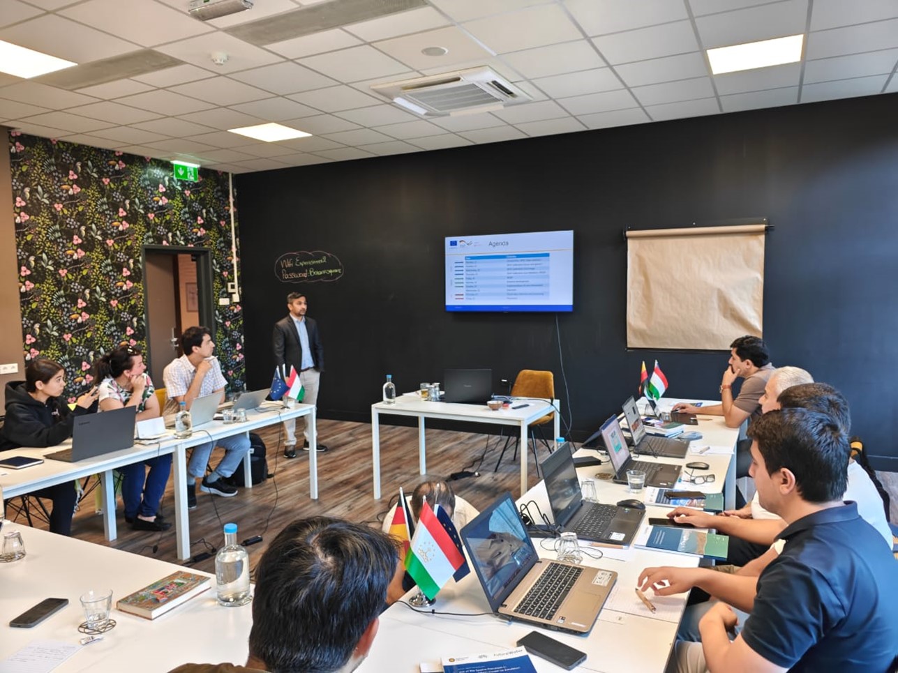
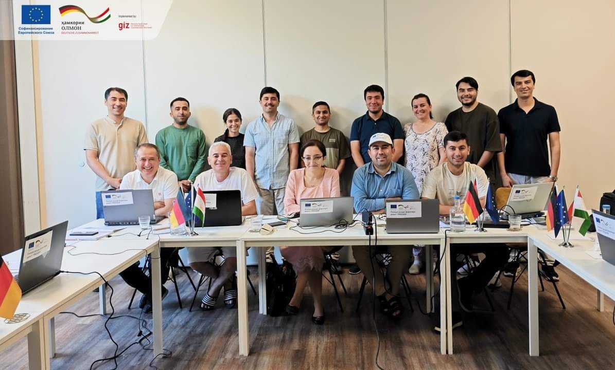
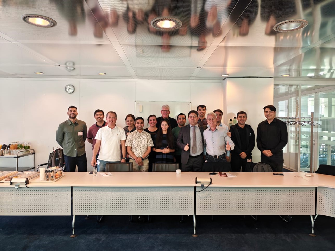
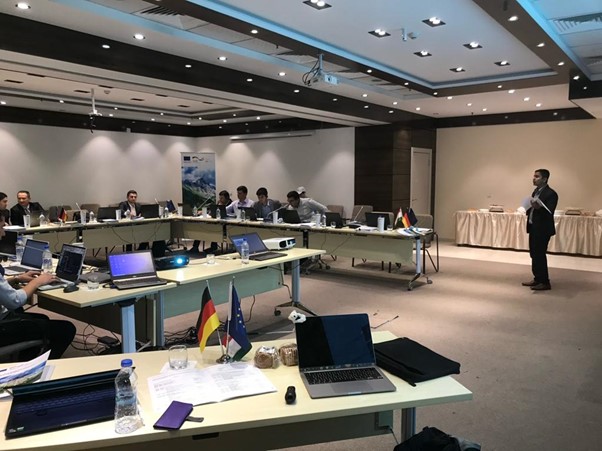
As the UN kicks off the “International Year of Glaciers Preservation 2025” and the “Decade of Action for Cryospheric Sciences,” Tajikistan is taking center stage with tech-driven solutions and regional and global cooperation leading the way in water adaptation. In line with these global initiatives and ongoing project (Integrated Rural Development Project/TRIGGER), specialists from Tajikistan’s water sector participated in a two-week (12 – 23 August) study tour to The Netherlands focusing on advanced water resources modeling tools.
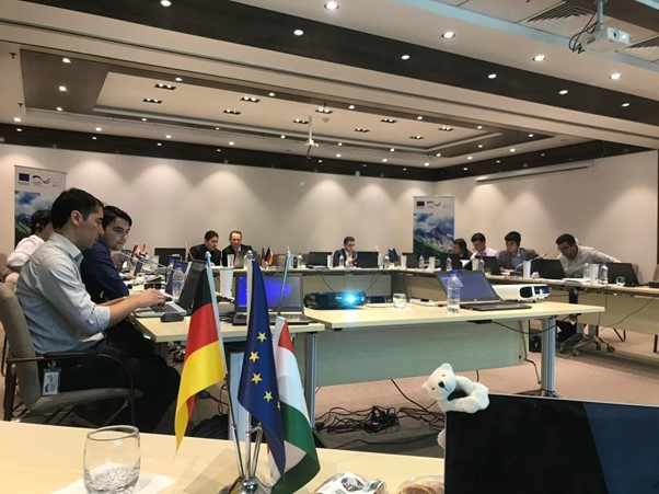
Thirteen participants from various institutions of the Republic of Tajikistan; the Ministry of Energy and Water Resources (MEWR), the National Water Information System (NWIS), the Agency for Hydrometeorology of the Committee for Environmental Protection (Hydromet), and the Institute of Water Problems, Hydropower, and Ecology of the National Academy of Science of Tajikistan (IWP) and Ministry of Foreign Affairs (MFA) participated in this training. This initiative is co-financed by the European Union and the German Federal Ministry for Economic Cooperation and Development (BMZ), with implementation by GIZ. This project represents a crucial collaboration in securing Tajikistan’s water resources through the integration of cutting-edge technology and expertise, in alignment with global efforts to preserve glaciers and advance cryospheric sciences.
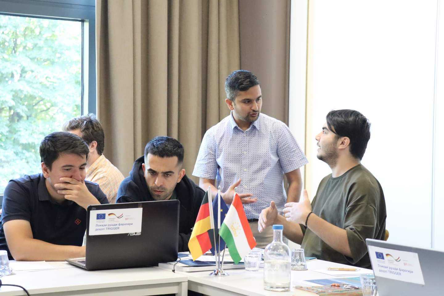
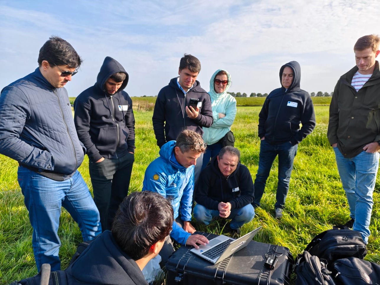
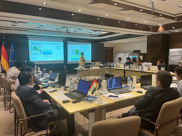
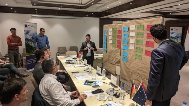
The study tour provided intensive capacity-building sessions for Tajik water experts, equipping them with practical skills in using Spatial Processes in Hydrology (SPHY), Water Evaluation and Planning (WEAP) modeling tools, drone data collection and post-processing and other key aspects of integrated water resources management. The integration of these tools and IWRM concepts will significantly bolster the efforts of Tajikistan’s water sector. Participants also had the opportunity to visit and engage with key stakeholders in Dutch water management, including Unie van Waterschappen and Rijkswaterstaat.
This successful study tour will be followed by a week of in-country training sessions on “Climate change impact assessment on the cryosphere and water resources of Tajikistan”, scheduled to take place in Dushanbe during the first week of September. Additionally, a glacier data collection expedition to GGP Glacier is also planned for the second week of September.
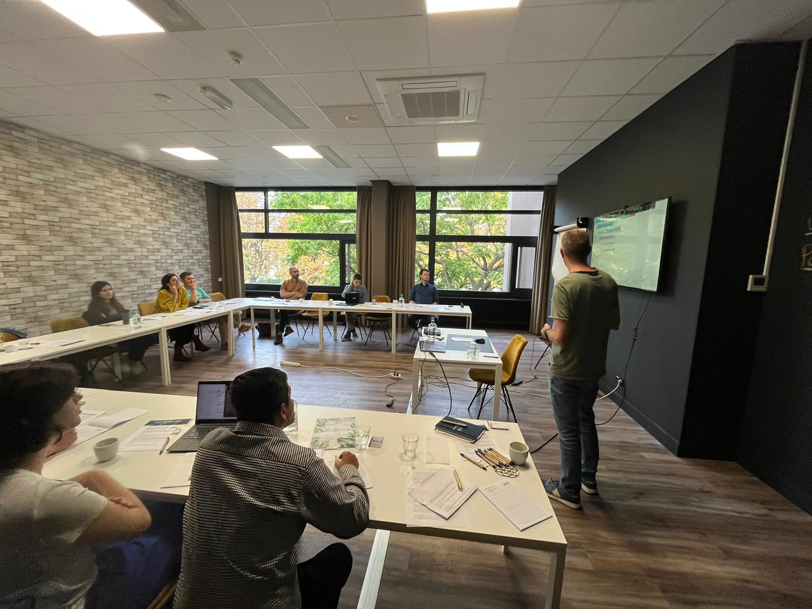
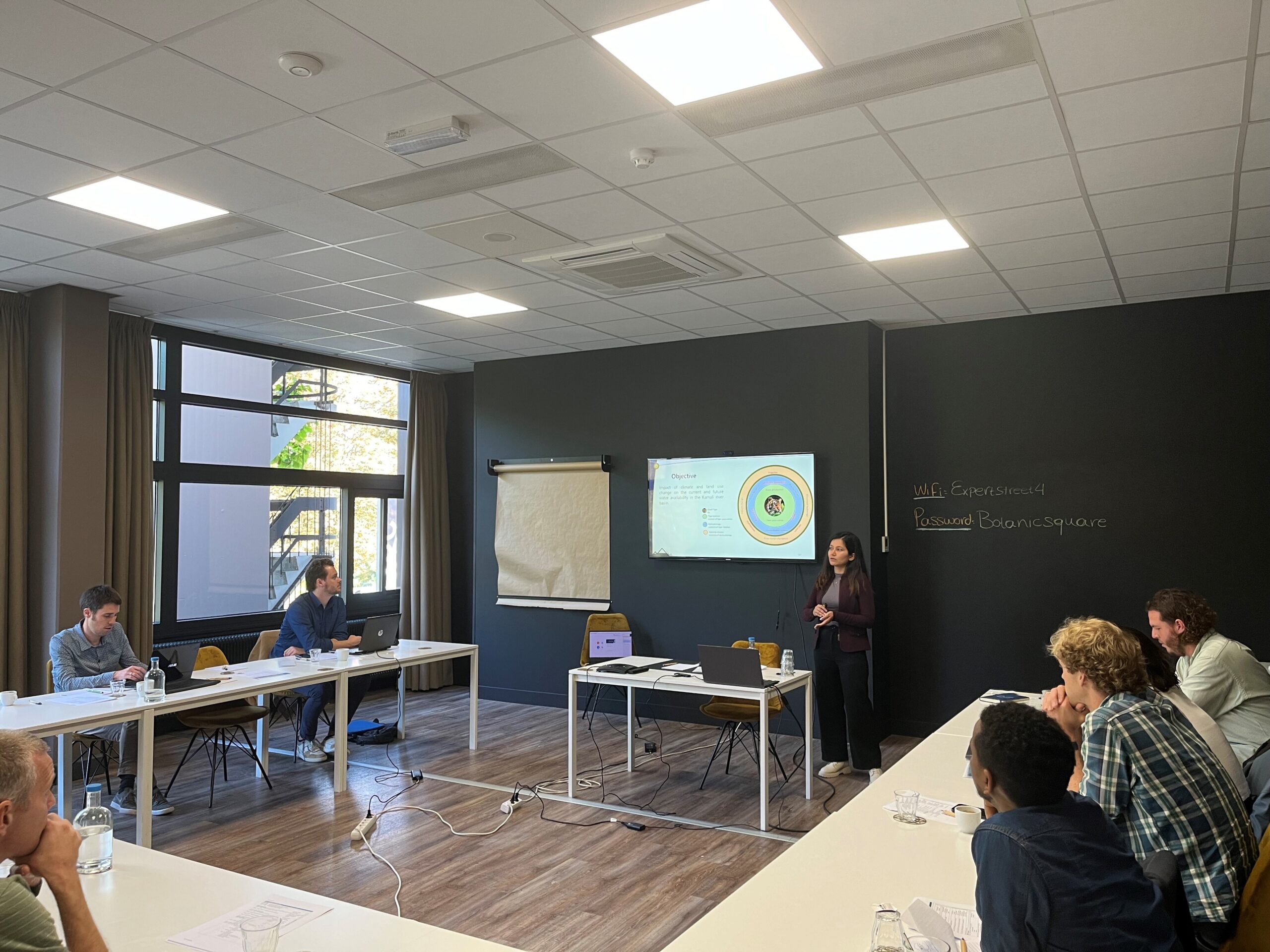
Training in Wageningen.Group picture of trainees and trainers.Dr. Sonu Khanal from FutureWater providing training on hydrological modelling.Training on drone data collection.Group picture.
Currently, Pakistan’s energy mix consists of 58.8% thermal, 25.8% hydel, 8.6% nuclear, and 6.8% alternative sources, reflecting efforts to diversify from fossil fuels. Pakistan’s installed electricity generation capacity reached 41,557 MW by 2022, with significant growth in transmission line length over the past 5 years. However, the T&D system has not kept pace with the nearly 15,000 MW capacity added during 2017-2021 (ADB, 2024). Despite investments, transmission and distribution losses averaged about 18% over the last 5 years, exceeding the National Electric Power Regulatory Authority’s (NEPRA) 15.3% target. In 2020, 23.7% of generated energy was lost during transmission, distribution, and delivery (ADB, 2024). Notably, transmission and distribution losses exceed 25%, far higher than in comparable countries (GoP, 2017). Therefore, there is an urgent need to upgrade the existing distribution infrastructure to fulfill the energy demands and ensure steady socioeconomic development in the country. ADB will provide financing for four underperforming DISCOs, selected in consultation with the Ministry of Energy: Sukkur Electric Power Company (SEPCO), Hyderabad Electric Supply Company (HESCO), the Multan Electric Power Company (MEPCO), and the Lahore Electric Supply Company (LESCO) to:
to upgrade the critical infrastructure of these DISCOs to reduce technical losses.
to implement revenue protection measures to improve collections. Additionally, the project design includes embedded climate resilience and reform measures to enhance institutional capacity and financial sustainability.
These rehabilitation efforts will also take into account and address the growing impacts of climate change in four DISCOs. FutureWater will make use of state-of-the-art downscaled Coupled Model Intercomparison Project Phase 6 (CMIP6) ensembles, and other relevant hazards and local information to develop this CRA. Insights from the CRA will be used to devise adaptation strategies. Additionally, FutureWater will be reviewing the existing meteorological monitoring network and recommending additional potential monitoring sites for improved surveillance in the country. To further assist the Government of Pakistan, in actualizing its second Nationally Determined Contribution (NDC) agenda which seeks to reduce greenhouse gas (GHG) emissions per unit of GDP by 50% (compared to the level in 2016), by the year 2030, FutureWater will also develop a GHG account and prepare a Paris Agreement alignment assessment.
For the first interview of the Innovation in Progress series, we speak to Saroj Yakami and Sanjeev Bhuchar. They are part of the team currently working in Nepal’s mountainous Dhankuta municipality and Chhathar Jorpati Rural Municipality of the Dhankuta district. The project aims to enhance natural springs while at the same time improve road infrastructure in the area.
Saroj is a water resource expert and Country Manager for MetaMeta Research in Nepal. Sanjeev works for the International Centre for Integrated Mountain Development (ICIMOD), managing the interventions on sustainable springs. For the RoSPro project he is responsible for the co-design process, intervention and spring conservation.
We meet over Teams, as they are both in Nepal. During our conversation it becomes clear that this innovative project aims to make a big impact, not only in Dhankuta, but across the Hindu Kush Himalayan (HKH) region.
Hydrogeological Mapping
Innovative approach
Saroj studied International Land and Water Management at Wageningen University. He joined MetaMeta Research in 2014 where he became involved in the Green Roads for Water initiative. “Roads affect how water flows, but water also affects roads. Most road damages are due to water. By reimagining roads as tools for landscape improvement we can manage water supplies and increase the lifespan of roads”, explains Saroj. “For the RoSPro project I coordinate the activities in Nepal, focusing on stakeholder collaboration, data collection, impact analysis and co-design processes.”
Making a bigger impact
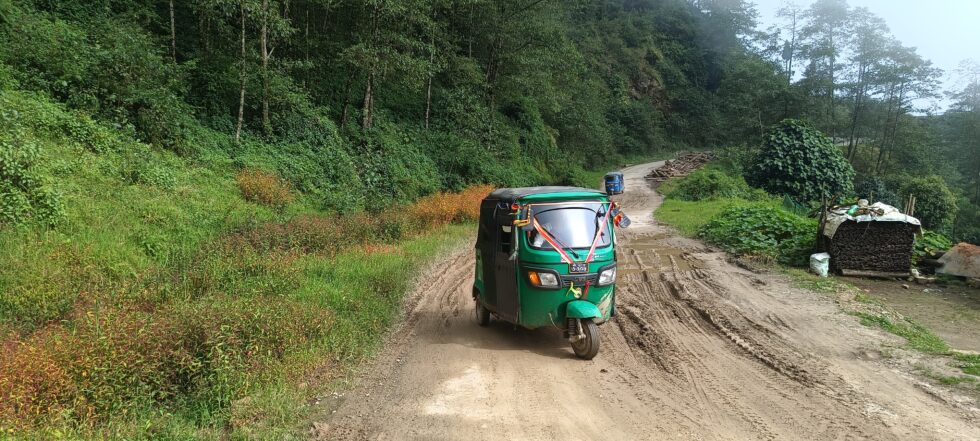
For ICIMOD and Sanjeev this project is relevant for the entire HKH region, which spans across eight countries. “Nearly 100 million people in the region depend on springs for their water security, of which approximately 10 million in Nepal. Spring water is a lifeline, catering to drinking, domestic, and agriculture needs, but many of these sources are dwindling. This is mostly due to the rapid expansion of road networks, in addition to changes in land cover and climate.
Road development alters the spring’s natural outflow, while rock cutting disrupts the location of spring orifices. For a long time, this problem has largely gone unnoticed, which poses a significant threat to the local communities and their water resources.” In an effort to address both the depletion of springs and the rapid expansion of roads, this project combines the roadside guidelines published by MetaMeta Research and the Department of Local Infrastructure (DoLI) with ICIMOD’s hydrogeology-based spring revival protocol.
Consortium Partners
The consortium is led by MetaMeta Research. Saroj explains: “MetaMeta had been working on roadside spring protection guidelines specifically for local road network in Nepal, as part of the Green Roads for Water initiative. With the intention on integrating our work, we shared our ideas with ICIMOD, as they are experts on spring revival in the HKH region”.
Sanjeev: “For ICIMOD this was very interesting. We had been developing a protocol for spring revival as well as decision support tools for mountain hydrology. Together we could address both problems at once. FutureWater, highly specialized in water management in the HKH context, contributes to the project by creating a digital twin and decision support toolkit. Through the integration of advanced techniques and tools, the project endeavors to secure safe and dependable water provisions for mountain communities while also preserving the quality of road infrastructure and sustaining connectivity”. DoLI will oversee the implementation.
Collaborating with the local community and local partners
Sanjeev: “Our main focus from the start was getting the local community and local government involved, making sure to include women in every step of the process. Promoting gender and social inclusion is an integral part of this project. Women are a vital part of communities, but are rarely in decision making positions. We make a conscious effort to change that”. The bottom-up approach and participatory process was essential for getting the problem recognized and endorsed by local governments. Saroj: “It enabled us to incorporate valuable local knowledge in the Nature-based Solutions, with respect for local traditions”.
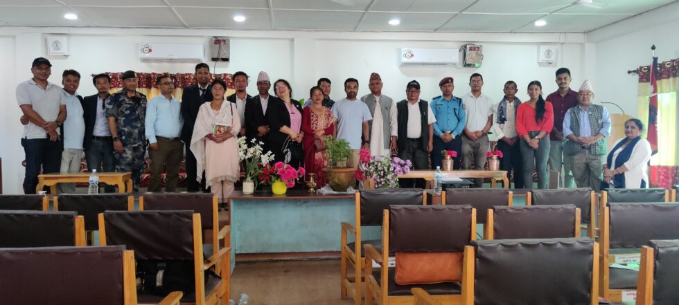
Kick-Off workshop with Dhankuta Municipality and Chhathar Jorpati Rural Municipality
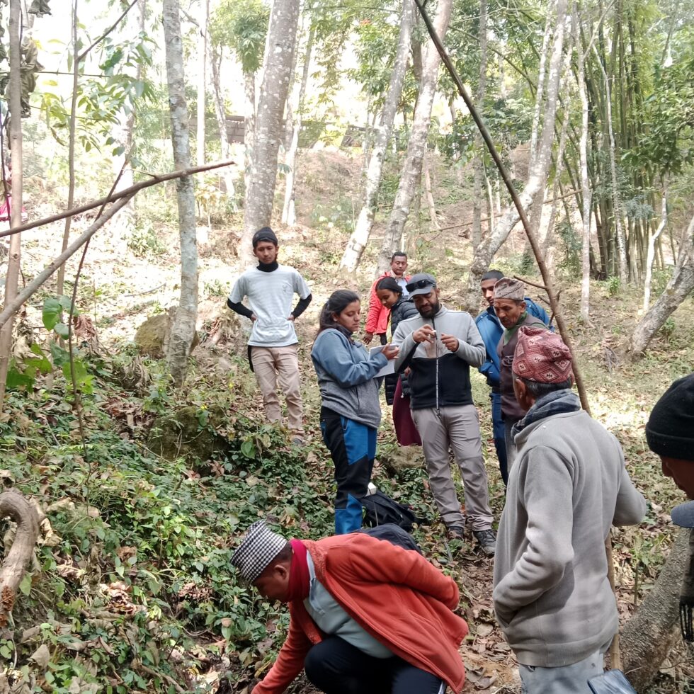
In the field
Since the start of the project in July 2023 a lot has been accomplished. Sanjeev begins: “We organized a kick-off to share the objective of the project with different stakeholders and started the process to co-select four roadside springs for piloting. There we conducted a hydro-geological study at field level. With the data from hydro-geological mapping, we were able to create 3D images of the area”.
Saroj adds: “We gathered a large amount of data to use in the co-design process. For example, we held household surveys and explored the area with locals to gather information about water quantity and changes in spring flows among other things. In Focus Group discussions we asked them to draw their own map of the region. This revealed all sorts of interconnections between their water supply and sources, built infrastructure, and other types of land uses. Valuable information that only locals have”.
Understanding how roads are affected by unmanaged roadside springs and vice versa.Knowing the project area together with communities during Focus Group DiscussionCo-design process: With Community members, Engineers from municipality and local partner HUSADEC for RoSPro implementation.
Next step
Saroj is excited about the next phase: “At this moment, we are in the process of finalising the co-design process for the measures for improvements of both springs and roads to be implemented in four pilot sites by May 2024. We have a short time frame before the monsoon starts.”
Innovation in progress series
During the Partners for Water programme 2022 – 2027, several projects that received the Partners for Water subsidy will be followed from start to finish. Over the next few years, they will take you with them on their transformative journey. You’ll be able to gain insights into their promising solutions, innovative processes and collaborations with local partners, as well as their struggles, challenges and valuable lessons learned.
More information about the project can be found here.
FutureWater aims to support the Asian Development Bank (ADB) in the development of a new multi-hazard Early Warning System (EWS) facility, addressing the significant exposure to disaster risks of the developing member countries (DMCs). The enhancement of multi-hazard EWS aligns with global commitments, such as the Paris Agreement, Nationally Determined Contributions (NDCs), Sustainable Development Goal 13, Sendai Framework Target G, and the Early Warnings for All Initiative (EW4All).
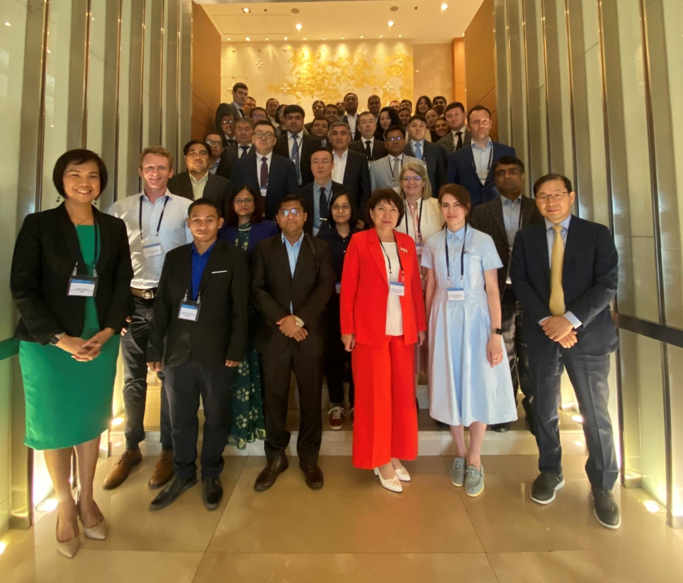
The implementation of MHEWS, however, is significantly lagging across the world with several countries still not protected by it. Coverage is limited in developing countries on the frontlines of disasters and climate change. To address this concern, a workshop entitled “Regional Workshop on Increasing Investments in Early Warning Systems” was organized by ADB on 1-2 February 2024 in Bangkok, Thailand. The workshop aimed to establish the rationale for an EWS support facility within ADB and devise a roadmap for its establishment and operations.
The workshop targeted technical representatives from ministries of planning, finance, and national disaster management organizations from the following DMCs: Bangladesh, Cambodia, Kazakhstan, Kyrgyz Republic, Lao PDR, Maldives, Mongolia, Nepal, Tajikistan, and Uzbekistan.
It also included representatives from various international, regional, and technical organizations, such as the Green Climate Fund (GCF), UNESCO, UNDRR, World Meteorological Organization (WMO), Economic and Social Commission for Asia and the Pacific (ESCAP), Regional Integrated Multi-Hazard Early Warning System (RIMES), Asian Infrastructure Investment Bank, and International Telecommunication Union (ITU). Additionally, representatives from the Asian Development Bank (ADB) participated, including regional climate change specialists, and sector specialists in agriculture and natural resources, energy, private sector, urban development, transport, and water.
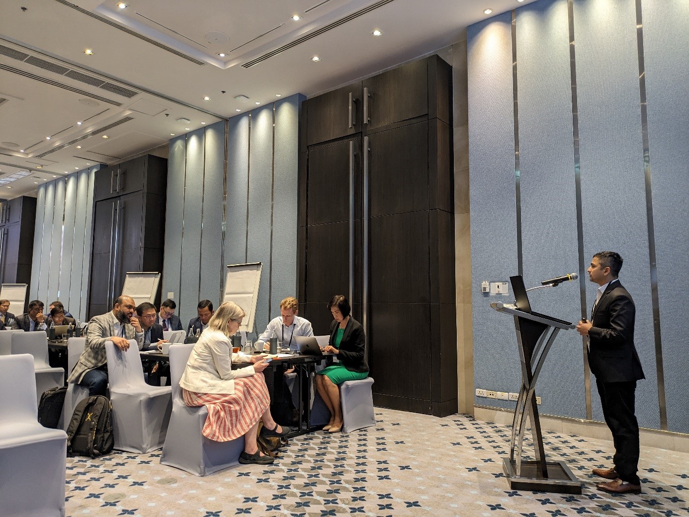
The workshop facilitated a deeper understanding of DMCs’ priorities and requirements regarding the enhancement of their investments in multi-hazard EWS by bringing together stakeholders from various regions. It gathered insights into the specific needs and challenges faced by different countries in strengthening their EWS capabilities. Furthermore, the workshop fostered a collaborative approach to designing a facility that could effectively meet the technical assistance, grants, and loan needs of DMCs.
Participants actively participated in co-design processes, as well as in the development of establishment and implementation guidelines, and investment concept notes. This ensured that the proposed facility was customized to effectively address the unique circumstances and contexts of the DMCs involved. For more information regarding the project please visit the project page or contact s.khanal@futurewater.nl
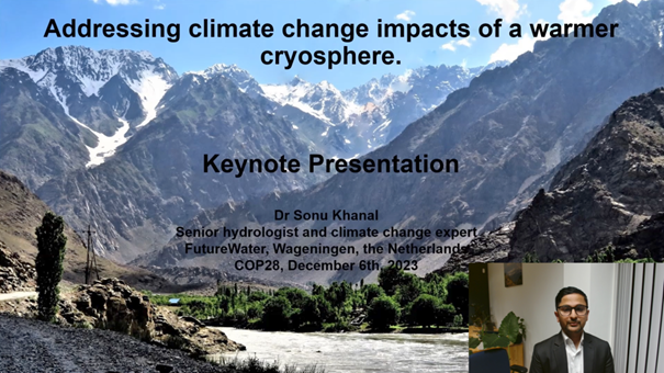
Tajikistan showcased leadership in climate resilience at COP28, organizing a session titled “Are we adapting? Integrating WEFE Nexus and climate services for effective climate change adaptation” on December 6, 2023, from 13:30 to 15:00 at the Tajikistan Pavilion (B2-18) in the Blue Zone of COP28, Expo City Dubai, UAE.
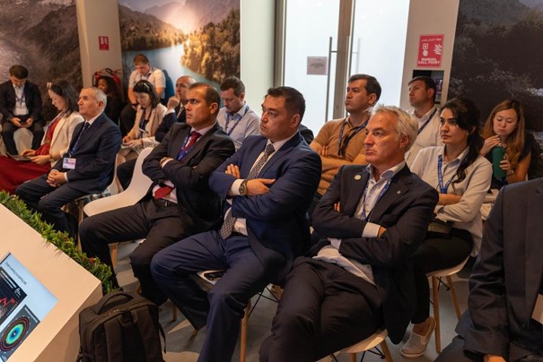
This event brought together a diverse audience eager to delve into Tajikistan’s innovative strategies. The session featured distinguished participants, including H.E. Mr. Daler Juma, Minister of Energy and Water Resources of the Republic of Tajikistan; Mr. Abdullo Qurbonzoda, Director, Agency of Hydrometeorology, Committee for Environmental Protection, Republic of Tajikistan; Mr. Jamshed Shoimzoda, First Deputy Minister of Energy and Water Resources of the Republic of Tajikistan; Mr. Muzaffar Shodmonov, Deputy Director of Project Implementation, Agency of Hydrometeorology, Committee for Environmental Protection, Republic of Tajikistan; Mr. Eddie Rich, CEO, International Hydropower Association; Ms. Xiaohong Yang, Deputy Director General of Central and West Asia, Asian Development Bank; Mr. Sattor Saidov, Head of Climate Change Center, Agency of Hydrometeorology, Republic of Tajikistan; Mr. Torsten Brezina, Cluster Coordinator, Climate, Water, Energy in Central Asia, GIZ Kyrgyz Republic and Ms. Chihenyo Kangara, Regional Manager for Africa, Green Climate Fund, collectively advancing climate resilience and sustainability.
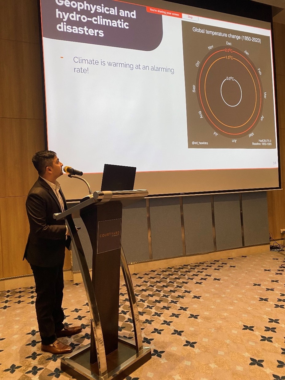
Dr. Sonu Khanal, a senior hydrologist and climate change expert, from FutureWater delivered a keynote speech presentation, highlighting the role of the cryosphere in the warming climate. The keynote emphasized the interconnectedness of water, energy, food, and the environment, showcasing Tajikistan’s innovative Water, Energy, Food, and Environment (WEFE) Nexus approach. The vulnerability of mountainous regions, often termed ‘water towers,’ to climate change was underscored, emphasizing their role in providing 60-80% of the world’s freshwater. Dr. Khanal addressed adaptation gaps, the importance of climate services, and the pivotal role of water in both adaptation and mitigation actions. The presentation also shed light on Tajikistan’s strategic use of innovative technologies and its contributions to global climate resilience efforts. Dr. Khanal also showcased FutureWater’s approach to addressing climate change impacts with their ongoing project in Tajikistan.
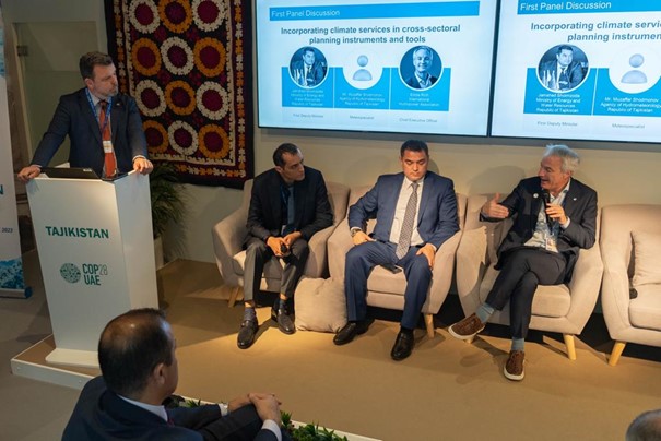
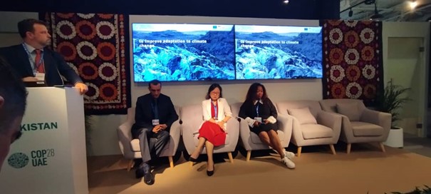
Keynote presentation by Sonu KhanalTajikistan session at COP28Panel discussion
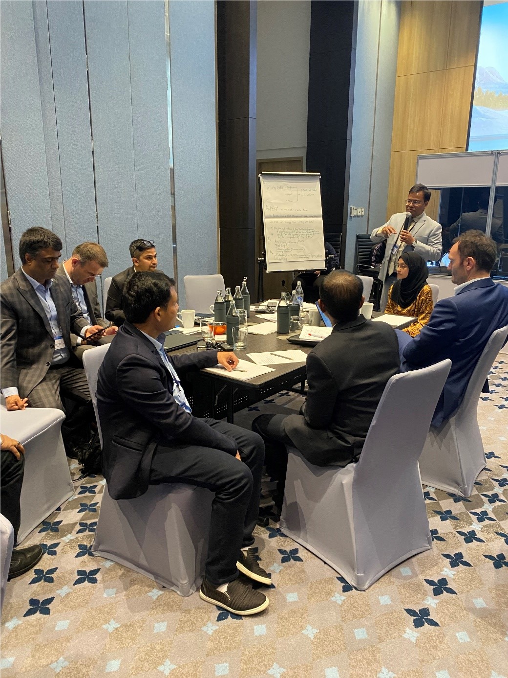
In the event, Tajikistan highlighted its robust Water, Energy, Food, and Environment (WEFE) Nexus approach, recognizing the interconnectedness of these sectors amid climate threats. The discussion emphasized the need for integrated strategies to address the multidimensional impacts of climate change on water, energy, food, and the environment. Tajikistan’s vulnerability, reliance on mountain water, and low precipitation levels were outlined. The role of glaciers and snowpack as vital water storage, innovative technologies, and the significance of climate-resilient hydropower were highlighted.
Importantly, the panel discussion “Incorporating climate services in cross-sectoral planning instruments and tools” and “Nexus approach and climate services for effective adaptation policy and resources mobilization” delved into the role of climate services and climate finance in addressing climate change challenges. The country’s National Determined Contribution (NDC) and future National Adaptation Plan (NAP) were praised for fostering a policy environment supporting adaptation planning and resource mobilization. For more information regarding the event, please contact Dr. Sonu Khanal at s.khanal@futurewater.nl.
Last month, FutureWater, in partnership with Utrecht University and University of Friborg, embarked on a transformative mission to Dushanbe, Tajikistan, aimed at assisting the Tajik government with the Water Sector Reform Program.
This crucial program endeavors to enhance water resource planning and allocation strategies across various river basin zones. The necessity for such initiatives has become increasingly pressing as Tajikistan grapples with the adverse consequences of climate change on its cryosphere. The disruption in high mountain water supply and the consequential shifts in runoff composition and overall water availability have prompted a concerted effort to address this critical issue. The recent visit was a concerted effort to bridge the existing information gap by improving the capacity to collect, evaluate, and effectively utilize data from snow and glaciers in the Zarafshan river basin.
The initial phase of the visit was centered around enhancing the technical capacity of local stakeholders. Notable participants included the Ministry of Energy and Water Resources (MEWR), the National Water Information System (NWIS), the Zarafshon River Basin (Zarafshon RBO), the Center of Glacier Research (CGR), and the Institute of Water Problems (IWP). Sixteen delegates from these institutions took part in the comprehensive “Training 1: Training Program on glacio-hydrological and water allocation modeling for the Zarafshon River Basin in Tajikistan with a focus on drone technologies”, delving into the intricate details of water resource modeling in the high mountains of the Zarafshan river basin.
Trainers inaugurating the training in Dushanbe, Tajikistan.Trainers proving the technical presentation on glacio-hydrological modellingParticipants doing the hands on demo session on modeling
The latter part of the training emphasized a participatory stakeholder consultation exercise, fostering structured discussions among partners regarding contributions to a potential data-information workflow. These deliberations aimed to facilitate sustainable cooperation among the MEWR, CGR, and IWP, specifically for the purpose of data collection for glacio-hydrological and water allocation modeling. Actively engaged in the discussions were Mr. Daler Abdurazokzoda, Head of Department at MEWR; Dr. Kayumov Abdulhamid, Director at CGR; and Amirzoda Orif Hamid, Director at IWP, prominent decision-makers who provided key insights on the shared responsibility. The result was an elevated sense of trust and collaboration among both national and international stakeholders.
Participatory stakeholder discussion.
During the second week, the focus shifted to “Training 2: Drone technologies for seasonal snow and glacier monitoring.” This segment elevated the stakeholder’s capability to collect high-altitude data, incorporating a comprehensive demonstration and hands-on training on the eBeeX drone with DGPS system. The training included an extensive understanding of the drone, its software, and the entire workflow required for efficient drone data collection. Notably, a data collection expedition with the eBeeX drone was organized for GGP glacier, marking a significant step forward in the project.
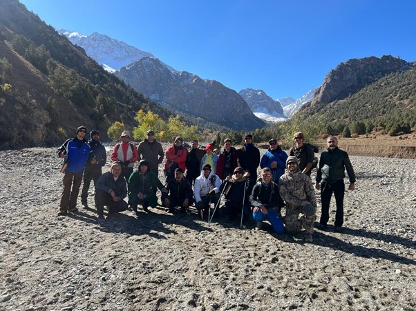
GGP glacier data collection expedition team before starting the hike to the glacier.
This robust dataset will serve as the foundation for establishing, calibrating, and validating Spatial Processes in Hydrology (SPHY) and WEAP models. The project’s ultimate aim is to utilize the model-chain to provide probabilistic flow forecasts based on seasonal meteorological data. These forecasts will be hosted on servers based in the Zarafshon RBO, ultimately contributing to the development of a comprehensive policy guidance note. This note will propose strategies for the development of a resilient integrated water resources management plan, ensuring both water availability and accessibility across the river basin.
With multiple training sessions and data collection expeditions planned, interested parties are encouraged to visit the project’s homepage and contact s.khanal@futurewater.nl for further information.
Last Tuesday was a fruitful day for the SPHY community as FutureWater (FW) with support from Utrecht University (UU) and Centre for Applied Soil Science and Biology of the Segura (CEBAS) and Wageningen University (WUR) hosted the SPHY Webinar 2023. We were thrilled with the large turnout, both from those who joined us in Wageningen and those who tuned in online from around the world.
Our speakers touched on a wide range of important topics. They discussed changes in the cryosphere of the high-altitude areas in Asia and new advancements to combat soil erosion. The SPHY model’s flexibility was showcased through real-world examples, such as its role in assessing climate change effects on mountain water supplies and helping farmers adapt to changing weather. The array of topics was a testament to the versatility of the SPHY model and its applicability across a myriad of challenges in water resource management.
One of the day’s highlights was the unveiling of the new SPHY version 3.1. The update brings an array of technical and website improvements, making the program easier to use and more efficient in handling data. We also had a group discussion where SPHY users could share their experiences and ideas for future improvements. The feedback we received was invaluable and will play a key role in shaping SPHY’s development going forward.
In closing, we’d like to thank everyone who participated. Your contributions made the event a success and have us excited for the future of SPHY and water management as a whole. Stay tuned for more updates and upcoming events from us, as well as the official release of SPHY version 3.1 in the coming weeks!