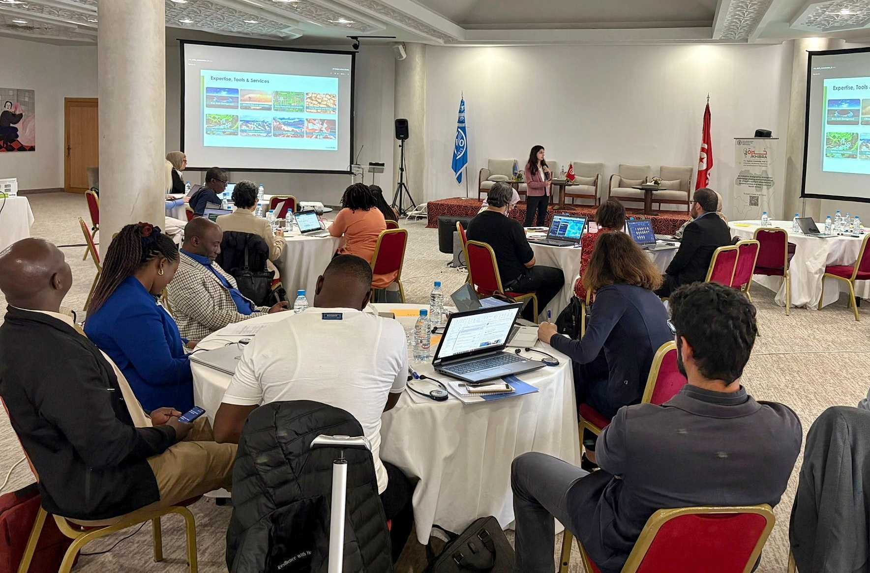
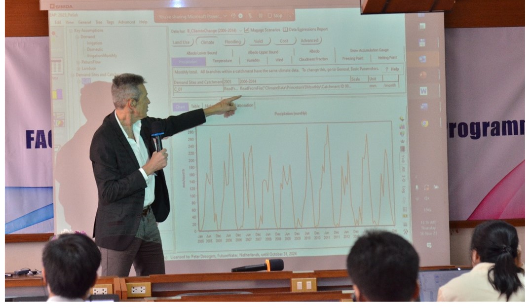
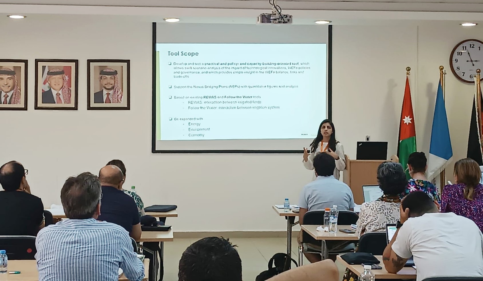
FutureWater, samen met het regionale kantoor van de FAO voor het Midden-Oosten en Noord-Afrika, presenteerde de blauwdruk van een nieuwe beslissingsondersteunende tool tijdens de interregionale workshop van de FAO over “Geïntegreerde benaderingen en op feiten gebaseerde goede praktijken in duurzaam landbeheer om de integratie van de WEFE nexus te bevorderen”. Het instrument is ontworpen om gegevens uit de waterboekhouding te gebruiken om het sectorale gebruik en de vraag naar hulpbronnen binnen de water-energie-voedsel-ecosysteem (WEFE) nexus te beoordelen en in evenwicht te brengen.
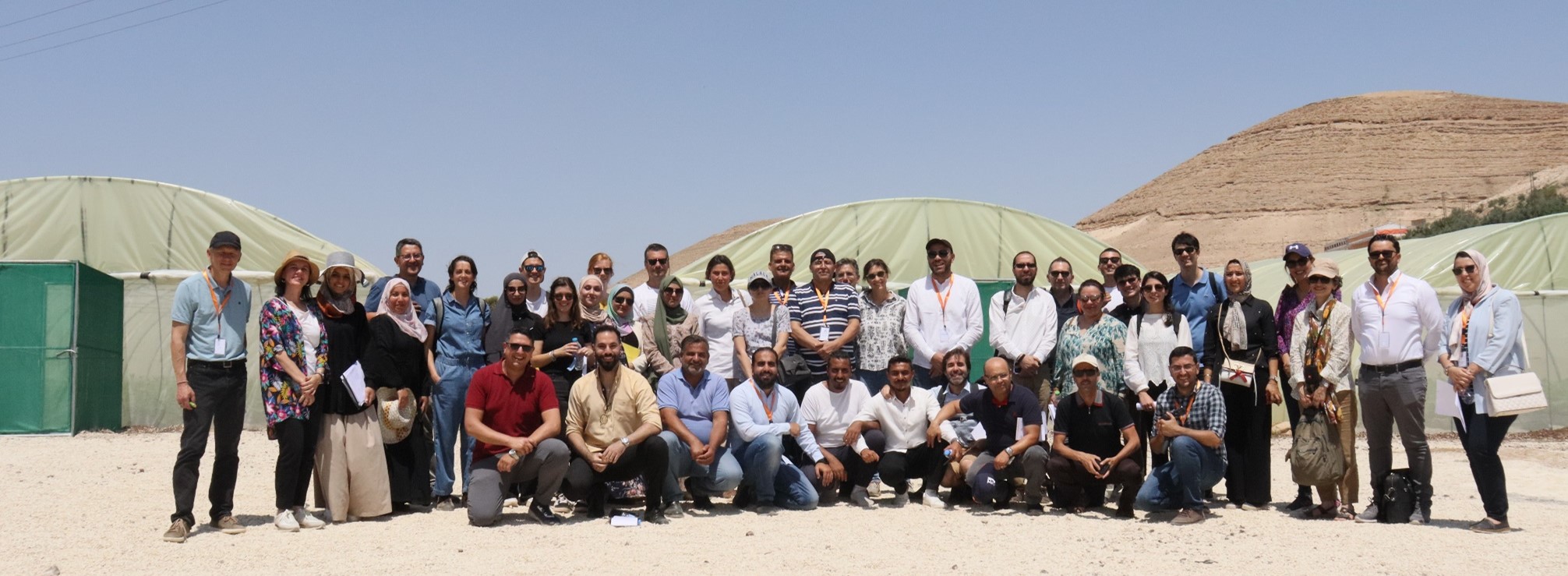
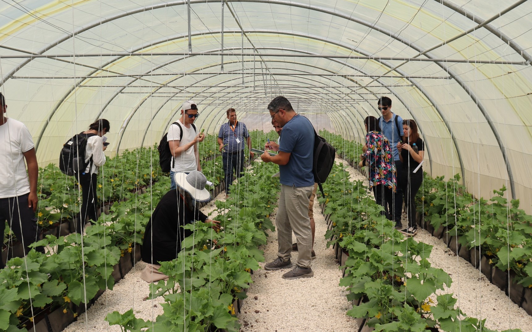
De workshop, georganiseerd door FAO’s Interregional Technical Platform on Water Scarcity (iRTP), werd bijgewoond door deskundigen uit MENA en Afrika ten zuiden van de Sahara, waaronder Jemen, Malawi, Egypte, Jordanië, Algerije, Marokko, Tunesië, Botswana, Zimbabwe en Tanzania. Deze diverse bijeenkomst creëerde een waardevolle ruimte voor regio-overschrijdende uitwisseling over best practices in duurzaam land- en waterbeheer.
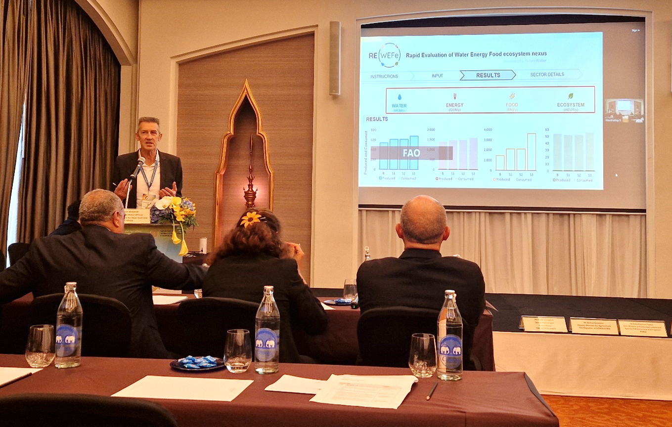
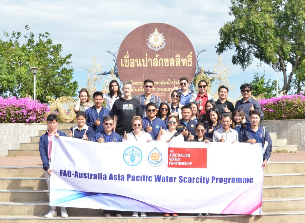
De presentatie van FutureWater benadrukte hoe de tool, die momenteel in ontwikkeling is, bedoeld is om op feiten gebaseerde planning en toewijzing van middelen in concurrerende sectoren te ondersteunen. Het nieuwe initiatief bouwt voort op eerder werk in het kader van het waterschaarsteprogramma Azië-Stille Oceaan van de FAO en brengt een systeembenadering van geïntegreerd hulpbronnenbeheer naar voren.
Het was bijzonder bemoedigend om veel interesse te krijgen van verschillende landen om de tool te testen, wat de dringende behoefte versterkt aan schaalbare, data-gedreven oplossingen die duurzame ontwikkeling in waterschaarse regio’s kunnen ondersteunen.
FutureWater is er trots op een bijdrage te kunnen leveren aan het bevorderen van een geïntegreerde aanpak van land- en waterbeheer en kijkt uit naar de volgende stadia van ontwikkeling en pilot testen.