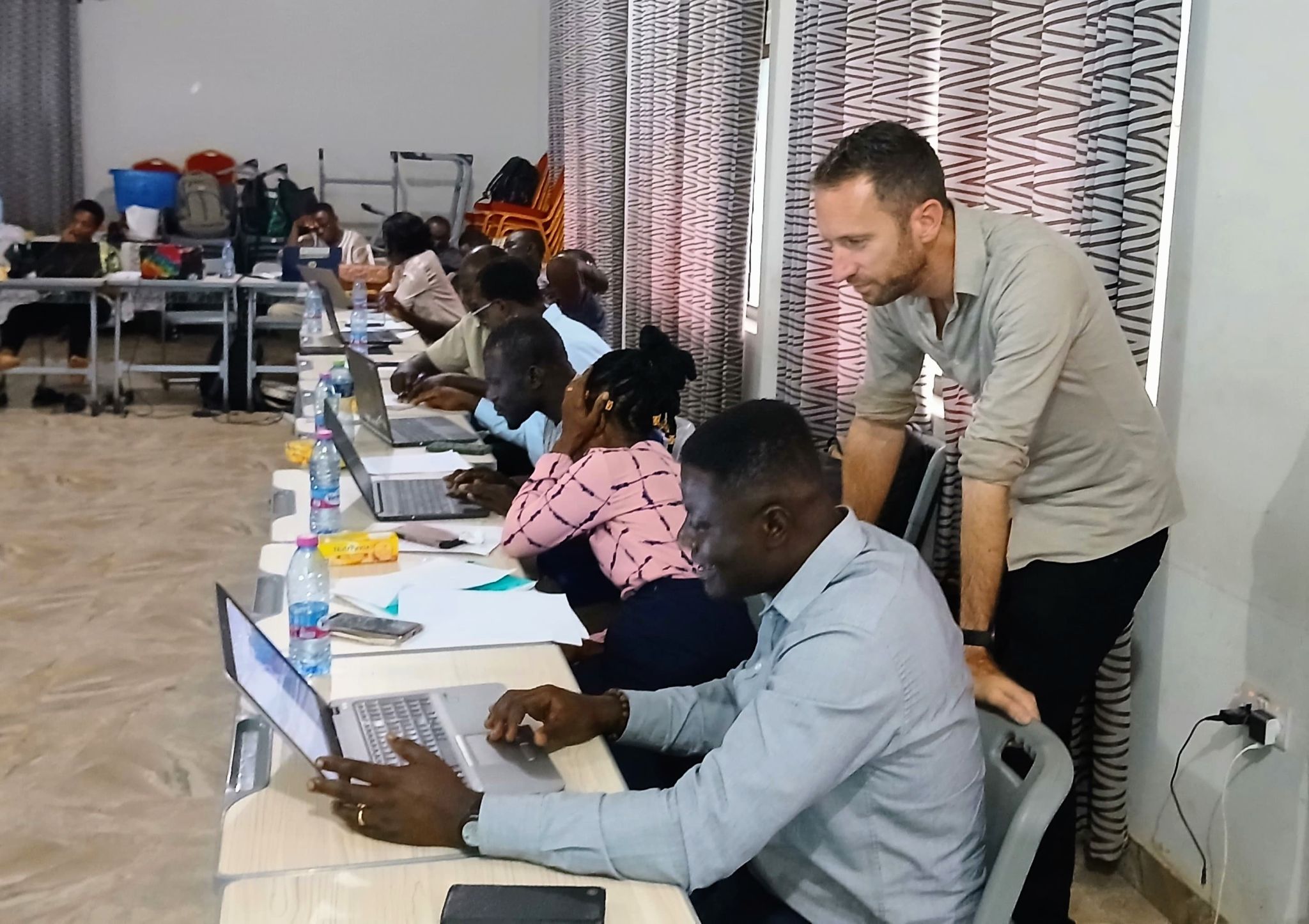
Onlangs is er een wetenschappelijk artikel gepubliceerd in Remote Sensing ( doi: 10.3390/rs17111855) waarin de geavanceerde technologie wordt gepresenteerd die is ontwikkeld door het MAGDA-project, dat meerdere sensorplatforms en modelleringsinstrumenten integreert om agrarische weersvoorspellingen en irrigatieadviezen te verbeteren.
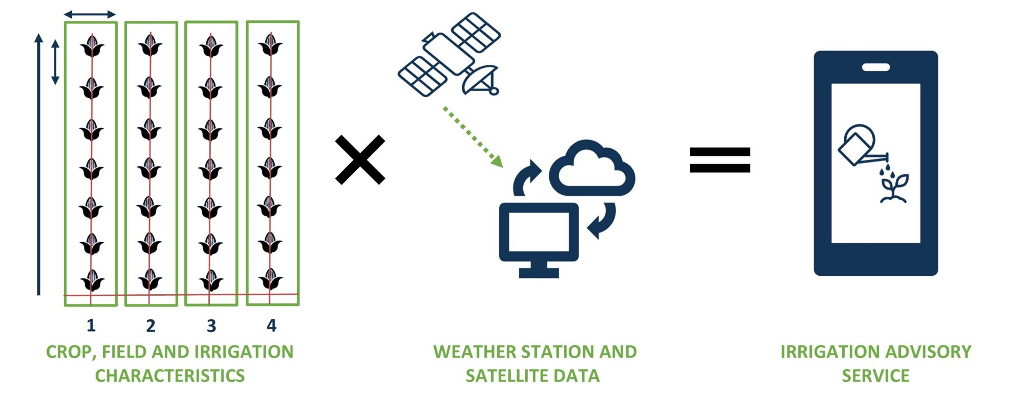
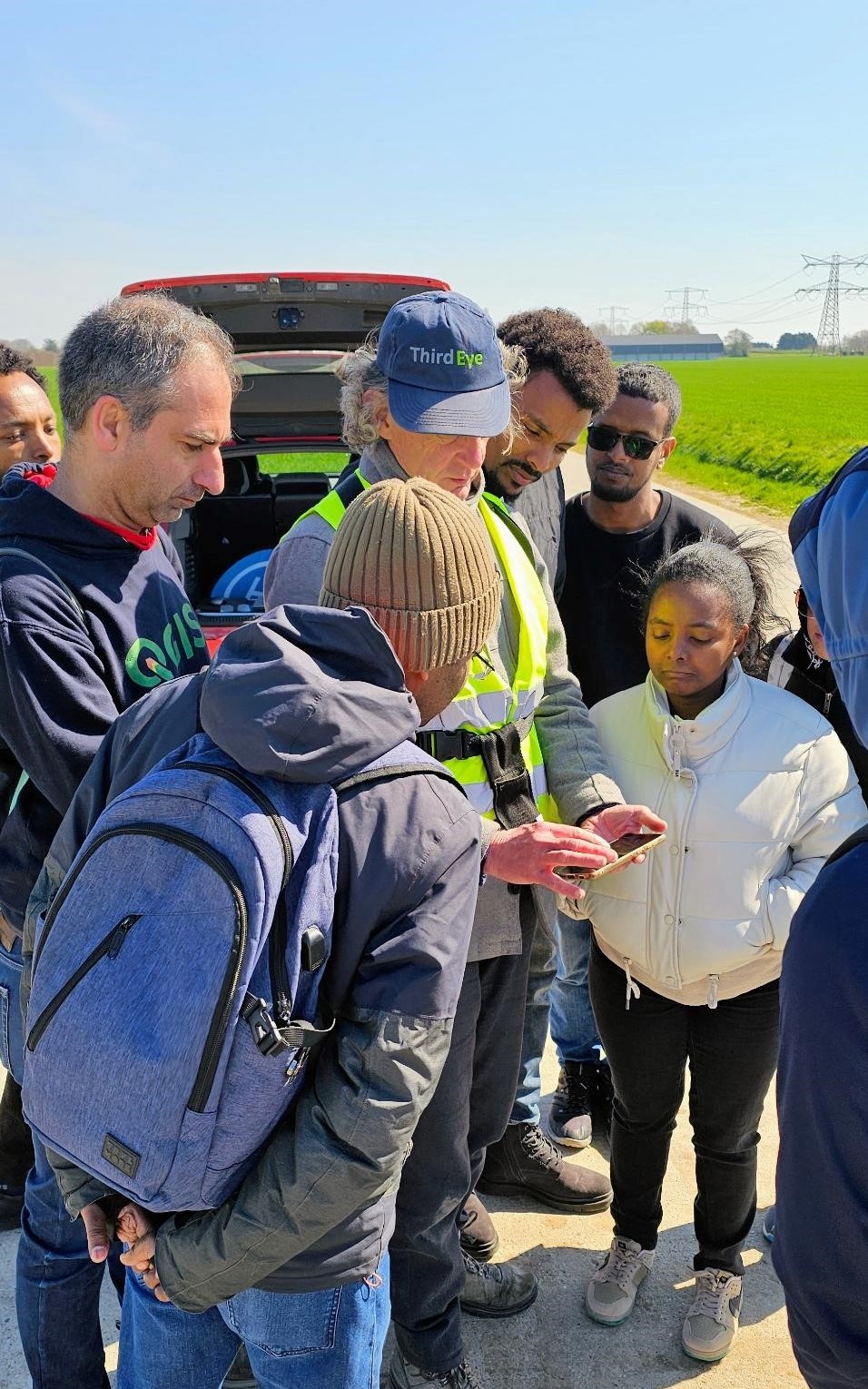
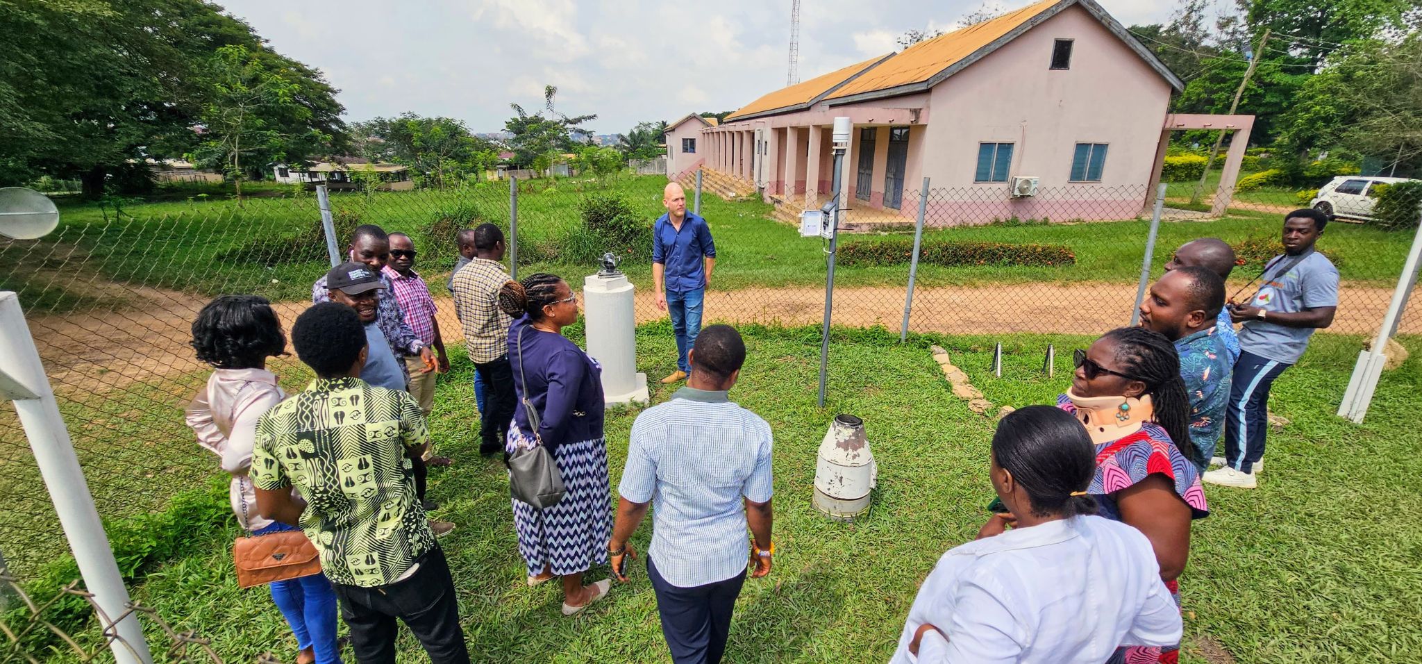
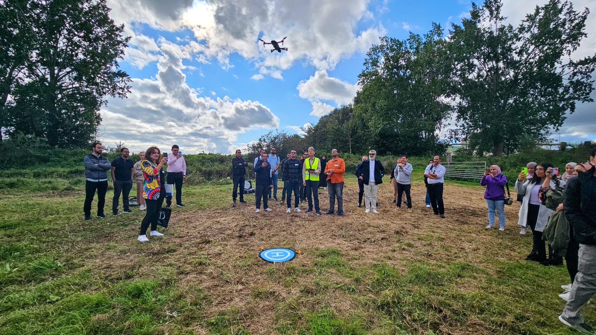
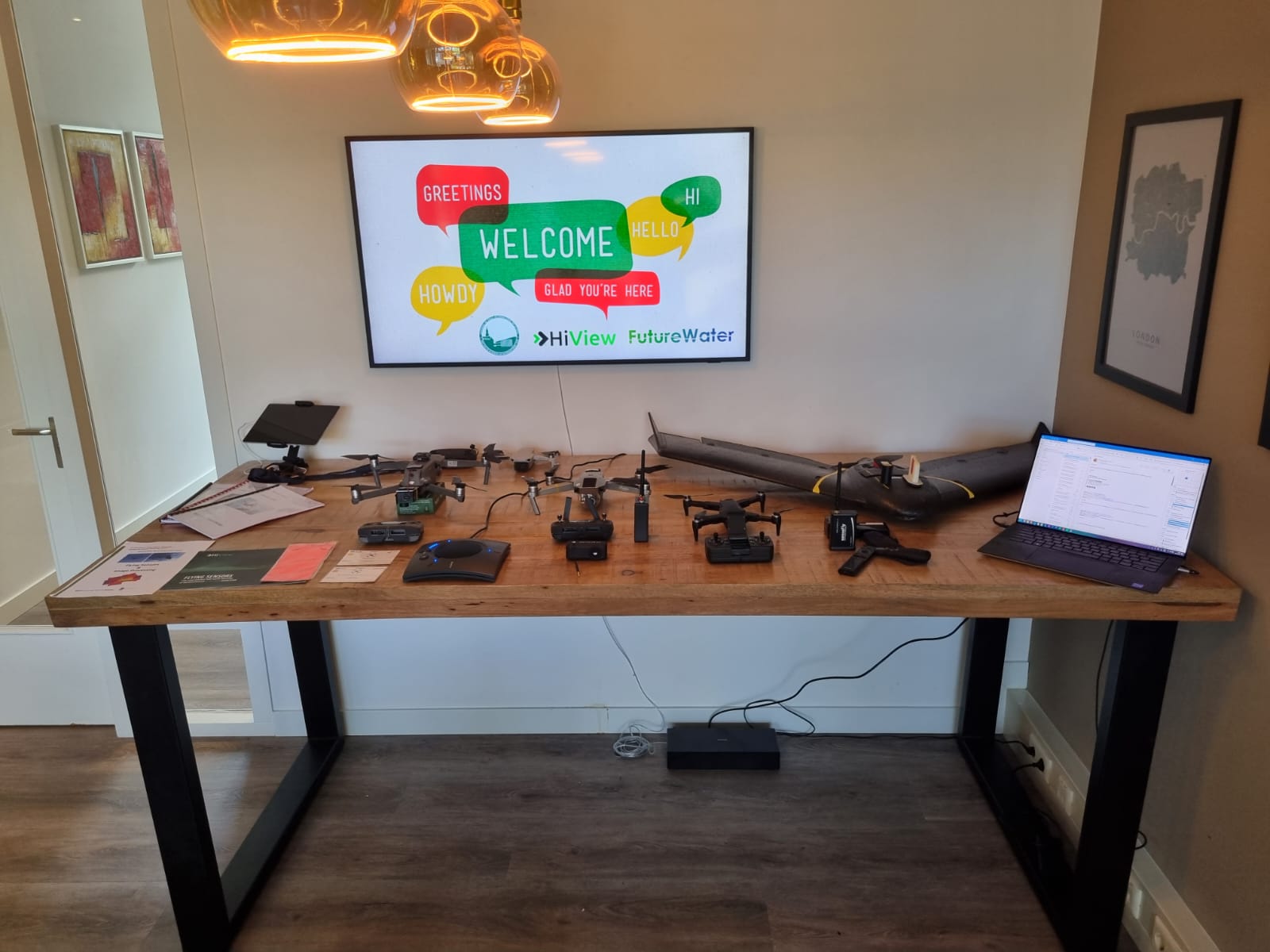
Dit nieuwe onderzoek biedt een doorbraak in precisielandbouw door het combineren van gegevens van Europese satellieten, drones, grondsensoren en GNSS-signalen voor zeer lokale en nauwkeurige weer- en bodemvochtmonitoring.
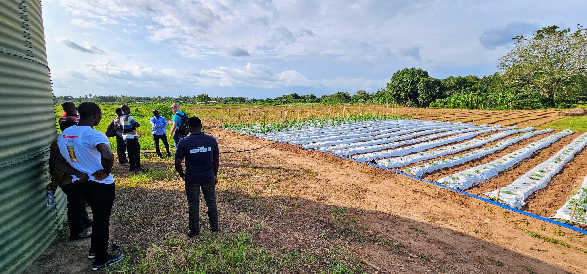
Het MAGDA-systeem biedt aanzienlijke voordelen door weersvoorspellingen op korte termijn en irrigatieschema’s op veldschaal te verbeteren, waardoor de uitdagingen als gevolg van klimaatverandering en extreme weersomstandigheden worden aangepakt. Boeren krijgen toegang tot nauwkeurige informatie die helpt om het watergebruik te optimaliseren, verspilling tegen te gaan en gewassen beter te beschermen tegen droogte, overstromingen en hagelbuien.
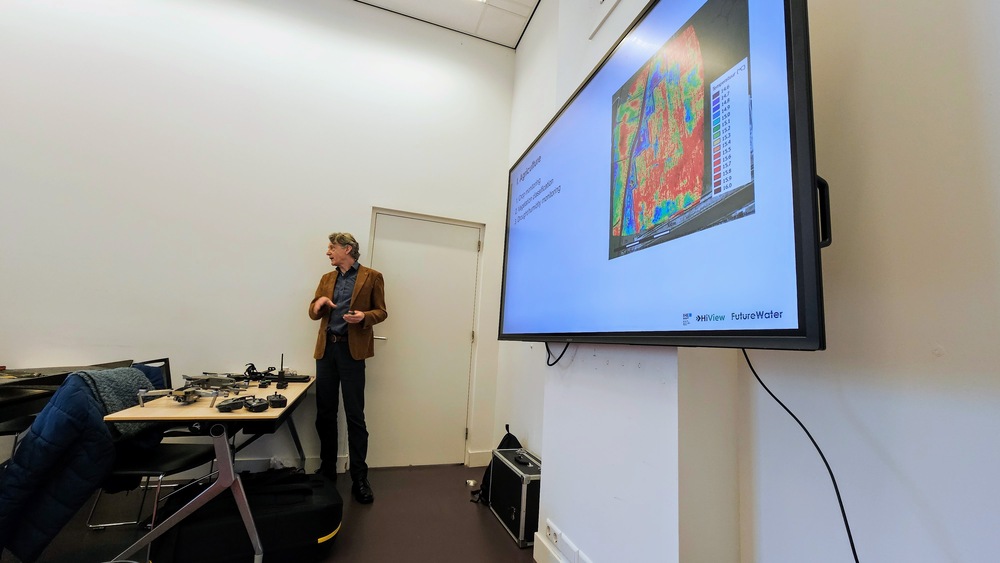
Een belangrijk onderdeel van het MAGDA systeem is IrriSPHY-1D, een geavanceerd agrohydrologisch model dat door FutureWater wordt ondersteund en is ingebed in MAGDA’s irrigatieadviesdienst. IrriSPHY-1D simuleert nauwkeurig de bodemvochtdynamiek in de wortelzone van het gewas en berekent de irrigatiewaterbehoefte nauwkeuriger dan ooit tevoren. Deze verbeterde mogelijkheden stellen boeren in staat om de watergift te optimaliseren, verspilling tegen te gaan en de milieu-impact van irrigatiepraktijken te minimaliseren.
De integratie van MAGDA-datasets – waaronder atmosferische gegevens met hoge resolutie van Meteodrones, satellietbodemvocht en bodemvochtterugwinning via GNSS-reflectometrie – in IrriSPHY-1D verbetert irrigatieadviezen aanzienlijk. Dankzij deze gegevensfusie kan het systeem betrouwbaardere en beter uitvoerbare irrigatievoorspellingen doen, waardoor het waterbeheer en de veerkracht van de landbouw verbeteren.
Met deze innovatieve aanpak en wetenschappelijke validatie hebben FutureWater en MAGDA’s partners een belangrijke bijdrage geleverd aan het bevorderen van duurzame en klimaatbestendige landbouwpraktijken in heel Europa.