We zijn verheugd te kunnen aankondigen dat de Rapid Eye XS eindelijk zijn eigen website heeft: www.rapideyexs.com
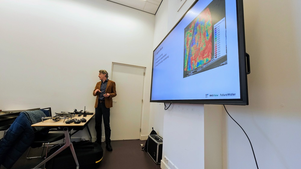
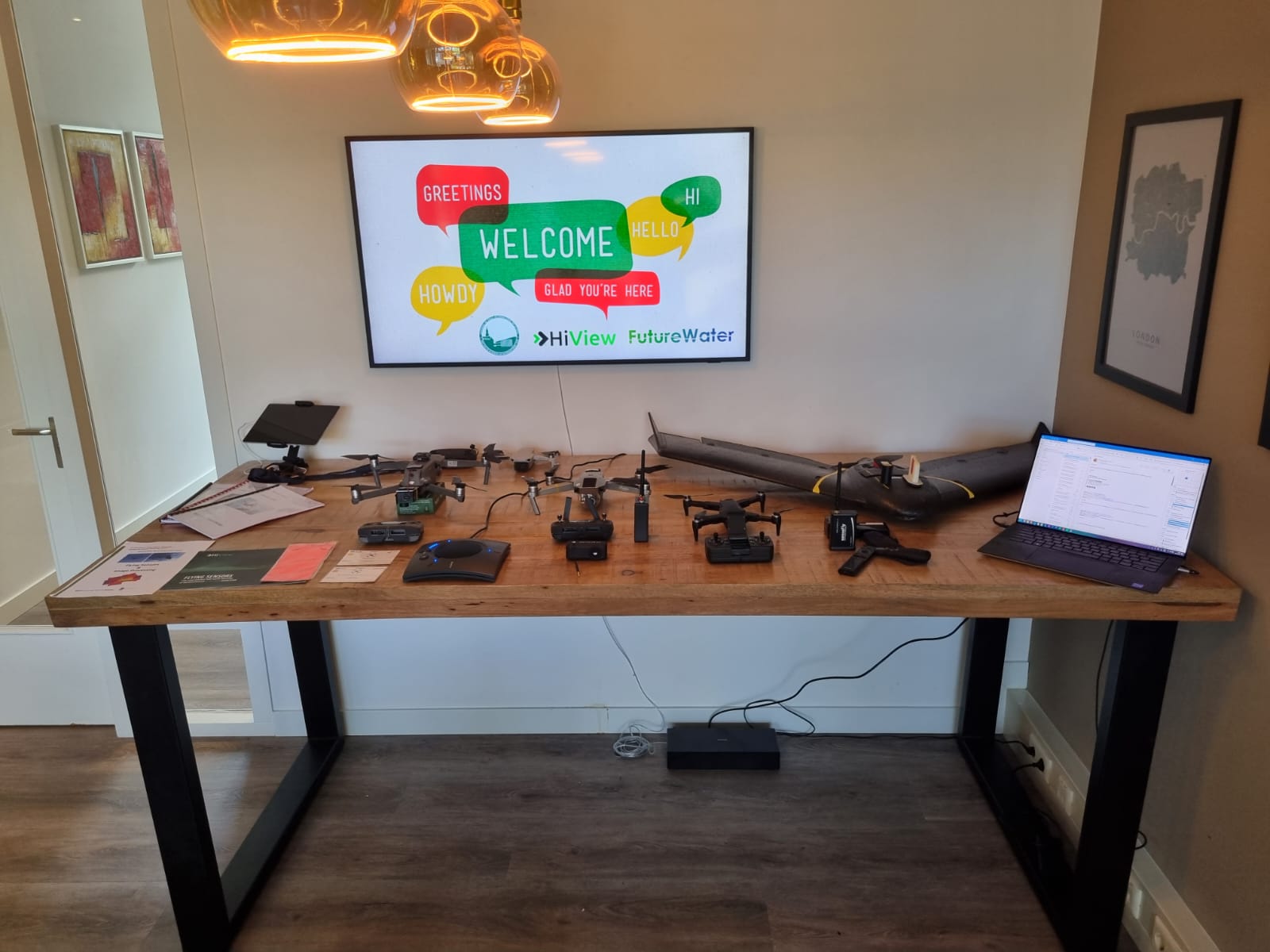
Na jaren van testen, aanpassen en veldgebruik, in samenwerking met HiView, is ons eigen nabij-infrarood camerasysteem nu voor iedereen te bestellen, rechtstreeks via onze nieuwe webshop. Of je nu met drones vliegt of de Crop Monitoring Pole gebruikt, Rapid Eye XS helpt je gewasstress te detecteren met heldere en betrouwbare NDVI-beelden.
Voor €399 (exclusief btw en verzendkosten) krijg je:
- Rapid Eye XS camera
- Een afstandsbediening
- Een USB-lader
Dit is alles wat je nodig hebt om aan de slag te gaan.
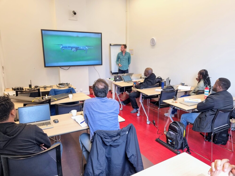
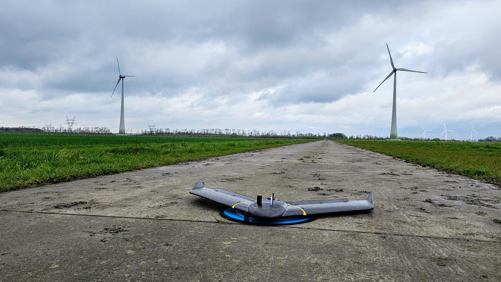
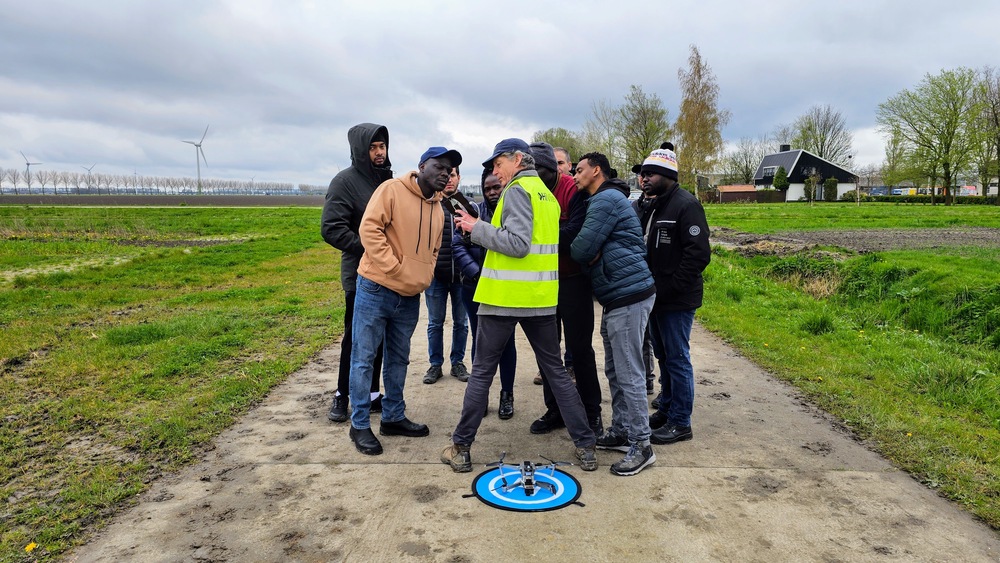
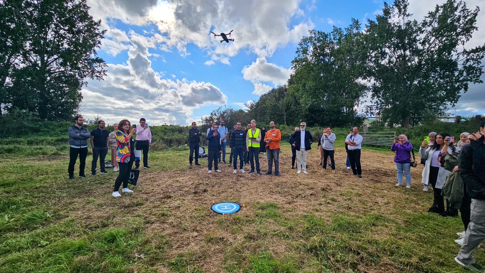
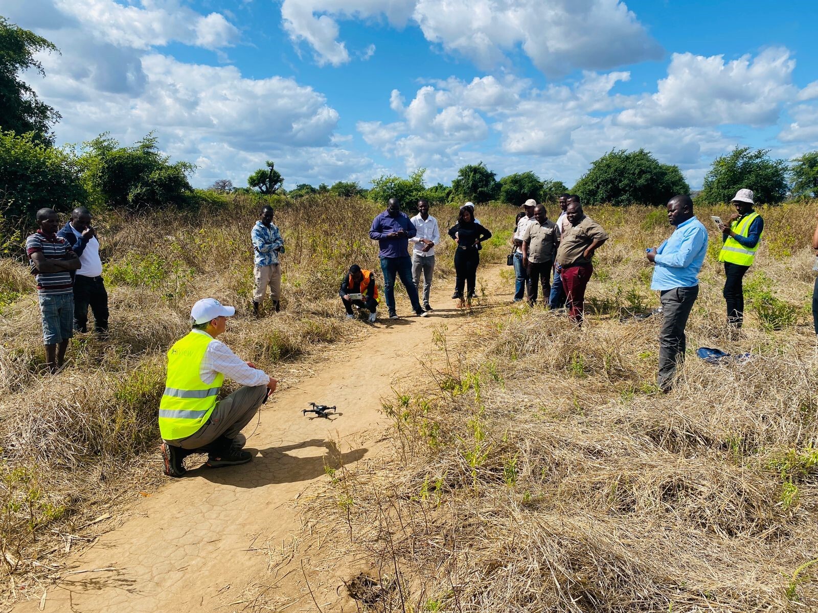
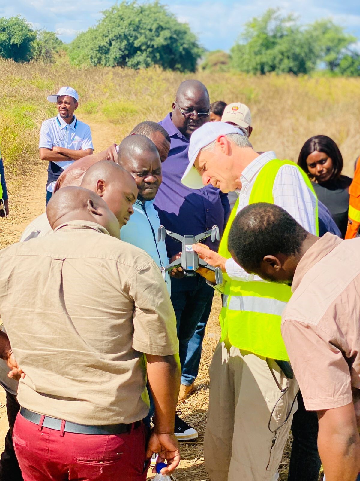
We hebben de Rapid Eye XS ontworpen om eenvoudig, robuust en zeer bruikbaar te zijn in echte omstandigheden, en we hebben gezien dat het wonderen verricht van Kenia en Mozambique tot Nederland. Heb je vragen voordat je bestelt? Wil je weten of het zal werken met jouw drone? Neem contact met ons op via het contactformulier op de website – we helpen je graag verder.
We zijn erg trots op dit product en willen het graag met de wereld delen. Bekijk het en bestel de jouwe vandaag nog op www.rapideyexs.com
Meer informatie en video
Download voor meer informatie de brochure over Rapid Eye XS.