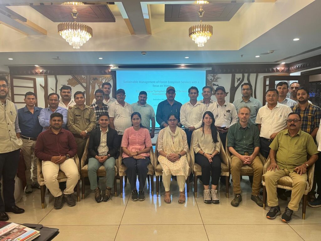
Funded by Nuffic as part of the Mena Scholarship Programme and requested by The Center for Conservation and Development of Sustainable Ecosystems (ZIPAK) in Iran, the training focused on providing participants with relevant hands-on experience in tools and techniques to enhance their capacity to manage (protected) ecosystems in Iran.
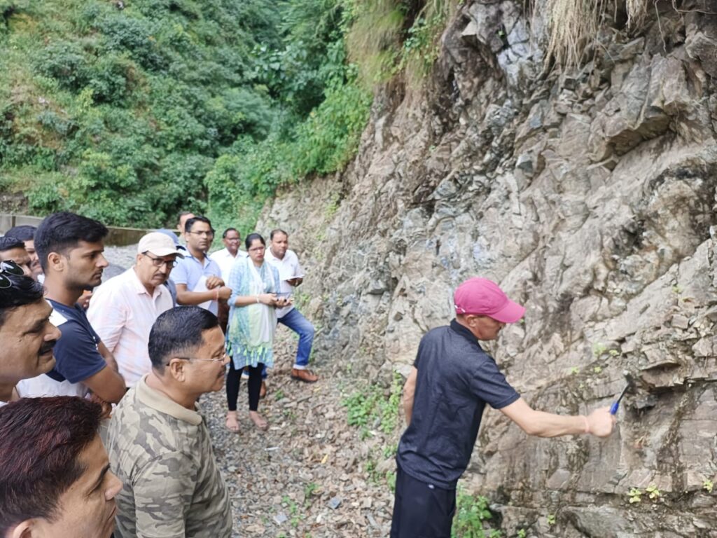
Over the course of 10 days, the participants gained hands-on experience in leveraging the Climate Change Knowledge Portal (CCKP) for performing climate risk and vulnerability assessments, leveraging the online dashboard Earth Map for environmental hazard mapping and socio-economic risk assessments and ppplying the InVest model (Integrated Valuation of Ecosystem Services and Tradeoffs) for assessing ecosystem service provision. The training took place in Wageningen and included an interesting excursion to the Marker Wadden, to highlight ecosystem restoration projects in the Netherlands.
Training taking place in Wageningen, The NetherlandsParticipant receiving certificate of completionExcursion to the Marker Wadden
With a target to increase the gross domestic product from $70 billion in 2021 to $160 billion by 2030, the Government of Uzbekistan is taking steps to ensure that it will be able to meet the spike in electricity demand which is expected to double by 2030. Initiatives include installing an additional 17 gigawatts capacity to the existing available capacity of 12.9 GW, out of which 8 GW will be from renewable energy projects. Currently, the distribution system in Uzbekistan comprises of more than 260,000 kilometers of 0.4-110 kV networks, 1,655 substations and more than 86,000 transformer points. However, more than 50% of the lines have been operational for 30 years and 30% of the substation transformers are in dire need of rehabilitation. Therefore, the Asian Development Bank is working closely with the Joint Stock Company Regional Electric Power Networks (JSC REPN) to: i) Rehabilitate and modernize the distribution substations, ii) Rehabilitate associated distribution lines, and iii) Enhance the institutional capacity for financial sustainability and climate resiliency.
These rehabilitation efforts will also take into account and address the growing impacts of climate change in the region. For this, FutureWater has been assigned to carry out a climate risk and adaptation assessment (CRA). FutureWater will make use of state-of-the-art downscaled Coupled Model Intercomparison Project Phase 6 (CMIP6) ensembles, and other relevant hazards and local information to develop this CRA. Insights from the CRA will be used to devise adaptation strategies. Additionally, FutureWater will be reviewing the existing meteorological monitoring network and recommending additional potential monitoring sites for improved surveillance in the country. To further assist the Government of Uzbekistan actualize its second Nationally Determined Contribution (NDC) agenda which seeks to reduce greenhouse gas (GHG) emissions per unit of GDP by 35% (compared to the level in 2010), by the year 2030, FutureWater will also develop a GHG account and prepare a Paris Agreement alignment assessment.
Solidaridad and FutureWater partnered to conduct a tailor-made training on ‘Geo-spatial data skills development for improved soil water management and enhanced crop productivity at the national level in Zambia’.
The training project for the Zambia Agricultural Research Institute (ZARI) was a Tailor-Made Training (TMT), as part of the Orange Knowledge Programme, funded by Nuffic, and enhanced capacity in accessing and using innovative data and tools in the public domain, to analyse crop performance and improve soil water management.
Staff of ZARI and the Ministry of Agriculture were trained on a range of geospatial data skills, including survey design using Kobo Collect, and remote sensing environmental analysis using GIS, Google Earth Engine, Earth Map and InVEST. The feedback received from participants was very positive:
“The TMT is a well-developed program that provides important tools for brushing up one’s skills in data compilation and analysis. The program materials are easy to go through and the instructors were friendly and easygoing. The training package included a good set of free and open-source tools for a wide variety of purposes, including; Land Use, Land Use Change and Forestry (LULUCF) assessments, monitoring agricultural land and urban areas and exploring how changes in ecosystems can lead to changes in the flows of many different benefits to people. The knowledge and insights provided in the TMT program are well delivered”
Chrispin Moyo Principal Agricultural Specialist Ministry of Agriculture Zambia
“This course gave me a good understanding of the applications of GIS and remote sensing in soil and water management. I’m particularly excited about the opportunity to quantify the benefits which regenerative agricultural practices would have on degraded environments using the InVEST tool. This was one of my best learning experiences and I can’t thank the organisers and trainers enough. Thank you to FutureWater, Solidaridad and Nuffic for a well-tailored and excellently delivered training.”
Belinda Kaninga (Ph.D) Senior Research Officer/Soil Scientist Zambia Agriculture Research Institute (ZARI)
More information about the project can be found here.
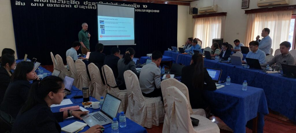
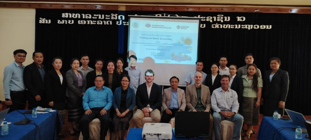
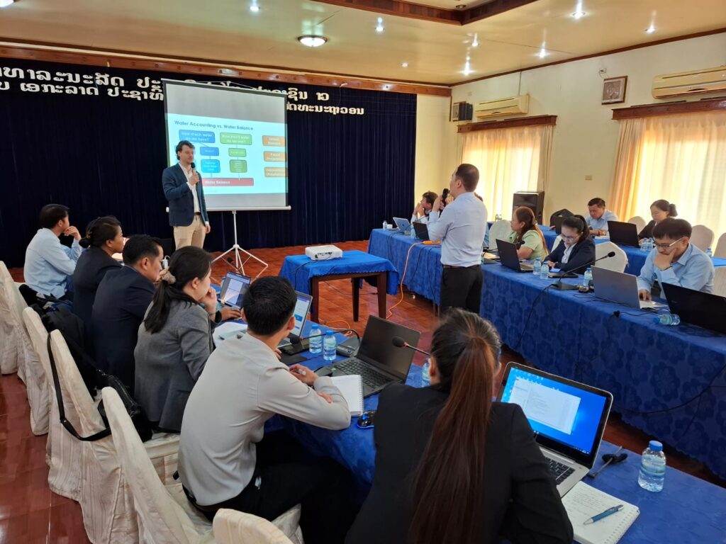
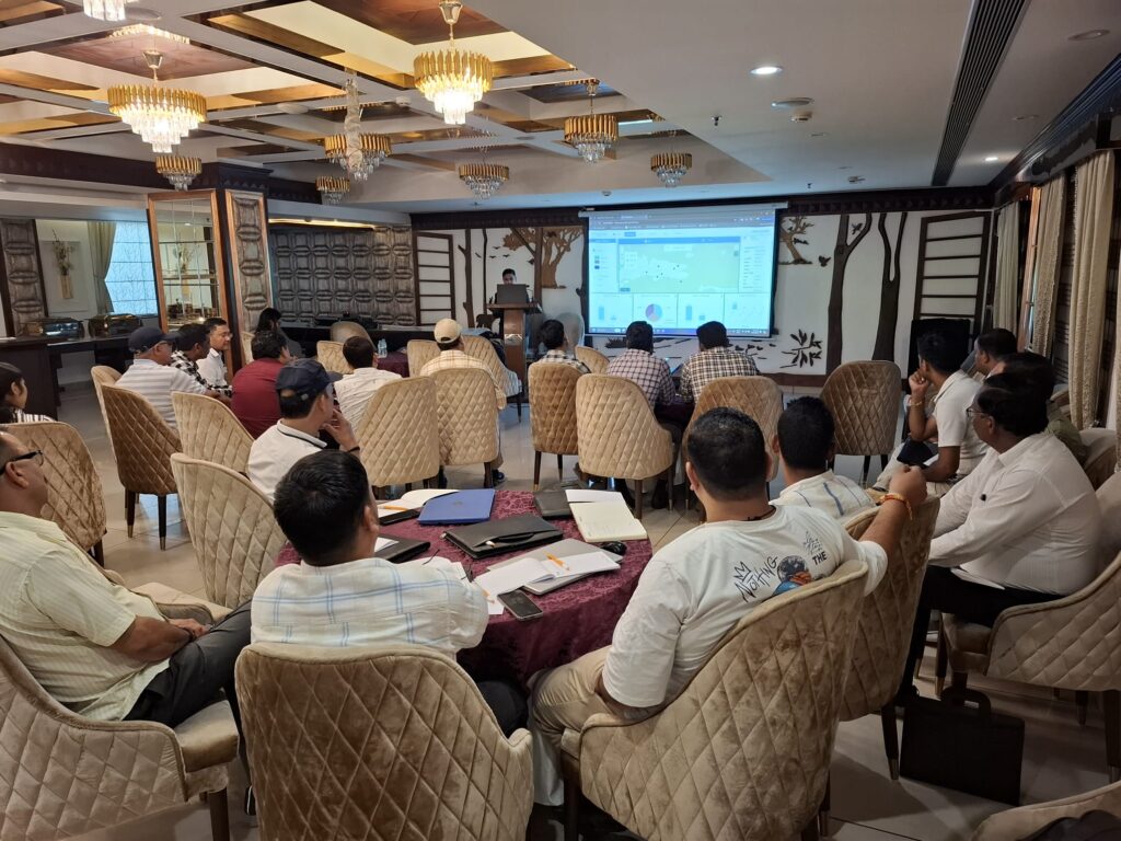
Trainers and participants during the closing eventParticipants during training sessionsParticipant during the training sessions
Currently, farmers rely on weather forecasts and advisories that are either general for a given, often wide, region of interest, or highly customized to the farmers’ needs (e.g. by combining large scale atmospheric variables into synthetic parameters of interest). In both cases, such forecasts and advisories often don’t rely at all on observations collected at or around the target cultivated areas, or they are limited to traditional observations provided only by weather stations, without exploiting the full extent of measurements and observations available through European space-based assets (e.g. Galileo GNSS, Copernicus Sentinels) and ground-based radar data.
MAGDA objectives go beyond the state-of-the-art by aiming at developing a modular system that can be deployed by owners of large farms directly at their premises, continuously feeding observations to dedicated and tailored weather forecast and hydrological models, with results displayed by a dashboard and/or within a Farm Management System.
FutureWater is leading the irrigation advisory service of MAGDA, making use of hydrological modelling using SPHY (Spatial Processes in Hydrology). The output expected consists of an operational irrigation service to provide advice on when and how much to irrigate at certain moments during the cropping season, using as input data improved weather forecasts.
During this task, the SPHY water balance model will be setup for three selected demonstrator farms in Romania, France and Italy. Finally, the irrigation advisory will be validated using performance indicators (e.g., water productivity, crop yield analysis, water use efficiency) using ground truth data (e.g., weather stations, moisture probes, crop biomass measurements)
The TWIGA Final Conference was held on 11 and 12 July as a hybrid event in De Oude Bibliotheek in Delft, the Netherlands, and online. The event gathered on both days 27 participants present in person and 15 online, including consortium partners, representatives of two sister projects AfriCultuReS and e-Shape, Advisory Board members, and the EC Project Officer.
Over the past 4 years, the TWIGA project provided actionable geo-information on weather, water, and climate in Africa through innovative combinations of new in situ sensors and satellite-based geo-data. The TWIGA consortium comprised seven research organisations, nine SMEs and two government organisations. In addition it used a network of 500 ground weather stations in Africa, providing ready-to-use technical infrastructure.
The program was structured to present the results of the project per Work Package during the first day, which was an internal consortium meeting, and the demonstration of the TWIGA Services, the legacy of TWIGA, and the future opportunities during the second day, which was a public event.
FutureWater team members Sergio Contreras, Corjan Nolet and Martijn de Klerk presented the successful development of the MapYourCrop drone service and InfoSequia drought early warning service. More information on the project can be found here.
To facilitate the needs of ZIPAK, this training aims to build data-driven capacities relevant to sustainable nature conservation practices and ecosystem-based natural resources management in Iran:
Leveraging the Climate Change Knowledge Portal (CCKP) for performing climate risk and vulnerability assessments
Leveraging the online dashboard Earth Map for environmental hazard mapping and socio-economic risk assessments
Applying the InVest model (Integrated Valuation of Ecosystem Services and Tradeoffs) for assessing ecosystem service provision
The training focuses on knowledge and skills development and how how to meaningfully integrate these capabilities into ZIPAK’s objectives on sustainable management of the environment and natural resources.
Last week, Martijn de Klerk, Corjan Nolet, and Tijmen Schults provided an in-person training on Climate Smart Agriculture and geodata and modeling tools for participants representing SMEs from the Egyptian agricultural sector. The training was part of the SASPEN (Sustainable Agriculture Service provision Enterprise Network in Egypt) project, implemented by Care Egypt.
The training took place at Care Netherlands in The Hague and was initiated by Care Egypt Foundation (CEF) and funded by the Dutch Embassy in Egypt. The aim of the SAPSEN project is to connect Egyptian agribusiness professionals from small and medium enterprises to Dutch projects, companies, and other partners in the agricultural sector to strengthen collaboration and stimulate the exchange of knowledge.
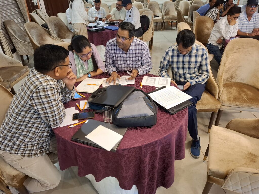
During the training FutureWater provided, 11 enthusiastic participants from various agricultural companies listened to a variety of topics surrounding Climate Smart Agriculture (CSA). The participants acquired hands-on experience in the use of online portals for the retrieval of geodata for agriculture and were handed several tools to perform data analysis. The agribusiness professionals indulged in discussions and participated in interactive quizzes related to CSA, geodata tools, drones, and crop modeling. The day was successful in bringing ideas and businesses together.
The in-person training will be followed up by two online training sessions covering advanced topics such as an introduction to ‘Real Water Savings’ (REWAS), water productivity interventions, open data portals for climate change information, and open access data solutions for the agricultural sector.
Presentation provided by FutureWater colleague Tijmen SchultsPresentation provided by FutureWater colleague Corjan Nolet
The beneficiaries of this training, provided by FutureWater together with Solidaridad, belong to the Zambia Agricultural Research Institute (ZARI).
ZARI is a department within the Ministry of Agriculture of Zambia with the overall objective to provide a high quality, appropriate and cost-effective service to farmers, generating and adapting crop, soil and plant protection technologies. This department comprises a number of sections, one of which, for the purpose of this training request is the Soil and Water Management (SWM) division. ZARI and the SWM carry out demand-driven research, trying to find solutions to the problems faced by Zambian small-scale farmers, especially considering the near- and long-term impacts of climate change.
The training programme consists of a hybrid approach of e-learning and in-person training sessions and is structured around the following modules:
Remote sensing-based analysis using Google Earth Engine to assess trends in land use, management, degradation and hotspots for intervention.
Data collection and database management.
GIS and remote sensing to assess suitability for SWC.
Effectiveness and prioritization of SWC using open-source tools.
Independent working on case study.
At the end of the training, it is expected that participants have achieved several objectives such as acquisition of technical skills for extracting relevant data from open access remote sensing products and improved knowledge of data collection and database management.
Last week, first module of the Nuffic TMT training course on Geo-spatial data skills development was kicked-off at Zambia Agricultural Research Institute (ZARI).
Solidaridad is partnering with FutureWater to conduct a tailor-made training on ‘Geo-spatial data skills development for improved soil water
management and enhanced crop productivity at the national level in Zambia’.
The training project for ZARI is a Tailor-Made Training (TMT), as part of the Orange Knowledge Programme, funded by Nuffic and will enhance capacity in accessing and using innovative data and tools in the public domain, to analyse crop performance and improve soil water management.
This first module was focused on the use of Google Earth Engine (GEE).
The objective of this module was to build capacity of the participants in using the basic functionalities of GEE, by working on applications specifically relevant for land use management and identification of degradation hotspots. This objective has been achieved by participants by obtaining hands-on experience in script-building and interpretation of outcomes.
And the rest of modules will take place during the incoming months, following the training project.
Introduction in classroomTrainers and participants
InfoSequia is the Drought Early Warning and Forecasting System developed by FutureWater to support the decision-making and risk management of drought impacts. InfoSequia rests on an advanced cloud computing and geoprocessing architecture able to effectively integrate large volume of data from satellite, reanalysis and ground-observation networks, with machine learning techniques to generate local-tailored seasonal outlooks of drought risk failures at the river basin and agricultural district levels.
InfoSequia has been recently and effectively integrated into the TWIGA geoportal, a platform that offers to African users the possibility for accessing data from ground-observation networks, and climate or agro- services with monitoring and forecasting capabilities.
The new and enhanced InfoSequia indices and products are operationally delivered for the Inkomati River Basin, a transboundary basin which extends through South Africa, Eswatini and Mozambique.
This lite service includes a full suite of 3 dekad-based (10-days) meteorological drought indices and 3 dekad-based vegetative health indices, all of them timescale aggregated at 1, 3, 6 and 12 months, and updated every month. The service is easily scalable and user-tailored to other regions of Africa upon request and agreement with FutureWater. Thanks to the advanced front-end capabilities of the TWIGA portal, users can easily access InfoSequia data and incorporate them into dashboards specifically set up according to their information needs.
A video was made to highlight how InfoSequía has been implemented, watch it here:
More information about the FutureWater’s approach on Water Scarcity and Drought can be found here.
One-pager brochure of InfoSequia-TWIGA for Africa. Downloadable as PDF here.