In november bracht de jaarlijkse SPHY Community Session gebruikers van het Spatial Processes in HYdrology (SPHY) model samen. De sessie bood een platform voor het delen van modelontwikkelingen, methodologische vooruitgang en toegepaste casestudies in verschillende contexten.
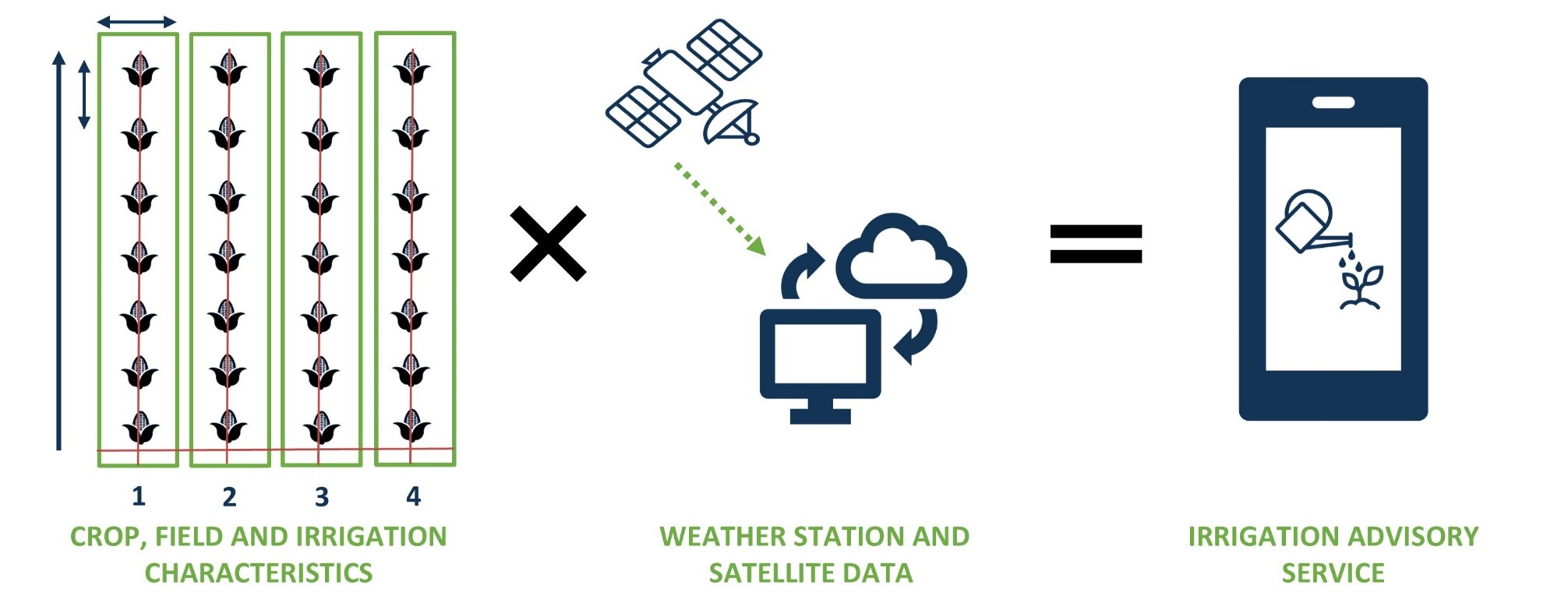
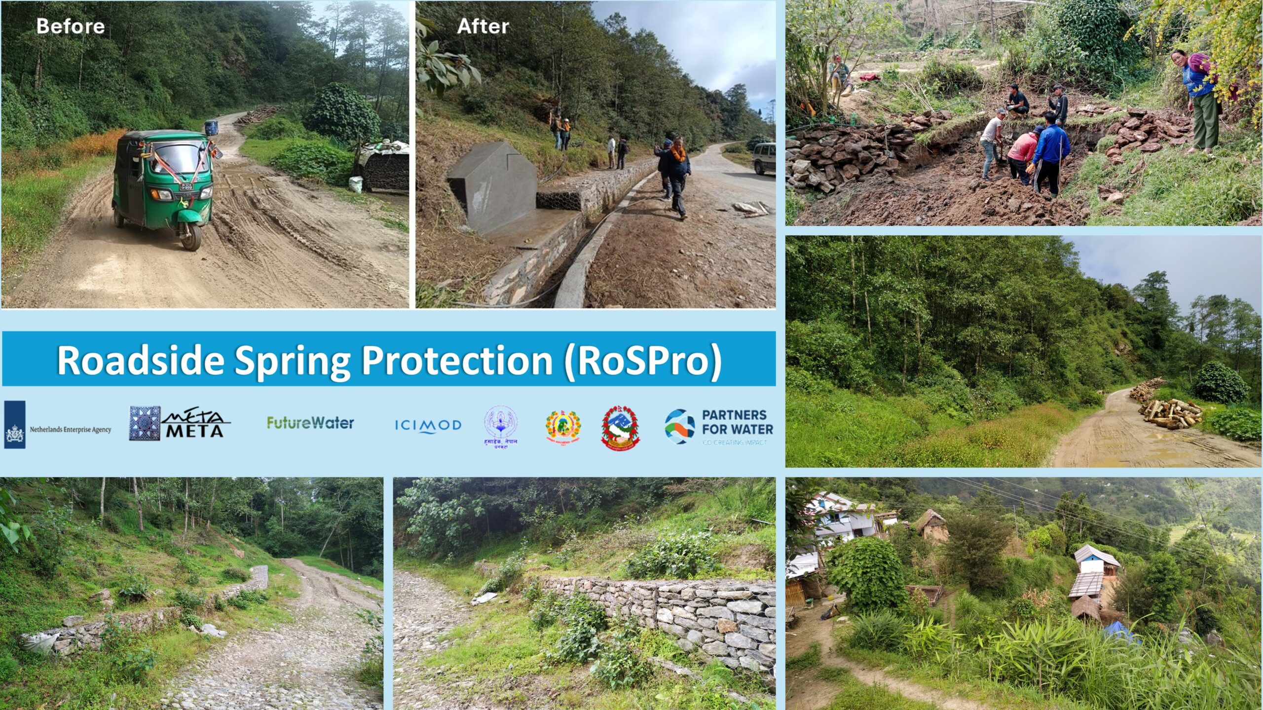
De jaarlijkse SPHY Community Session werd geopend met updates over de nieuwe SPHY versie 3.1, gepresenteerd door Tijmen Schults. Dr. Johannes Hunink reflecteerde op de geschiedenis van SPHY en het gebruik ervan in onderzoeksgebaseerd advies, waarna Amelia Fernández Rodríguez de nieuwe SPHY QGIS 3 plugin introduceerde en demonstreerde hoe SPHY nu is ingebed en toegankelijk is in de nieuwste versie van QGIS. Onderzoekers en praktijkmensen van verschillende instituten presenteerden vervolgens hun werk met SPHY in verschillende contexten. Dr. Faiz Mohammed deelde een agentgebaseerde socio-hydrologische benadering ter ondersteuning van duurzame en rechtvaardige investeringen in waterbeheer, terwijl Dr. Joris Eekhout besprak hoe toekomstige veranderingen in vraag en aanbod van irrigatiewater de waterzekerheid in een mediterraan stroomgebied kunnen beïnvloeden. Pranisha Pokhrel presenteerde haar toepassing van SPHY in het rivierbekken van de Karnali in Nepal, en de sessie werd afgesloten met een presentatie van Tijmen Schults over het simuleren van de afvoer van bronnen in het kader van het Roadside Spring Protection project in Nepal.
De sessie weerspiegelde de groeiende en diverse SPHY gebruikersgemeenschap en het belang van voortdurende uitwisseling tussen onderzoek en praktijk. We danken alle sprekers en deelnemers voor hun bijdragen en betrokkenheid, die de verdere ontwikkeling van het SPHY model ondersteunen. Een volgende SPHY Community Session zal worden gehouden in november 2026.