The main objective of the project was to support policy making, under current and future climate conditions, on optimal water management in nature reserve areas, based on uniform and consistent data collection. The project built upon knowledge developed under the “Klimaat voor Ruimte” framework and refined and demonstrated a method, sufficiently supported by all stakeholders, that integrates spatial explicit model output, measurements, and local know-how to assess the soil water status of an area.
SWIMM will allow us to make spatial explicit statements on the hydrological conditions of an area, while taking the current climate and climate change into account. SWIMM combines data from ground-based monitoring, remote sensing data, output of model studies (including SPHY by FutureWater and PROBE by KWR) and valuable site-specific knowledge from local managers and other experts. Comparison of the current hydrological state with the desired state can result in fine tuning of the water management.
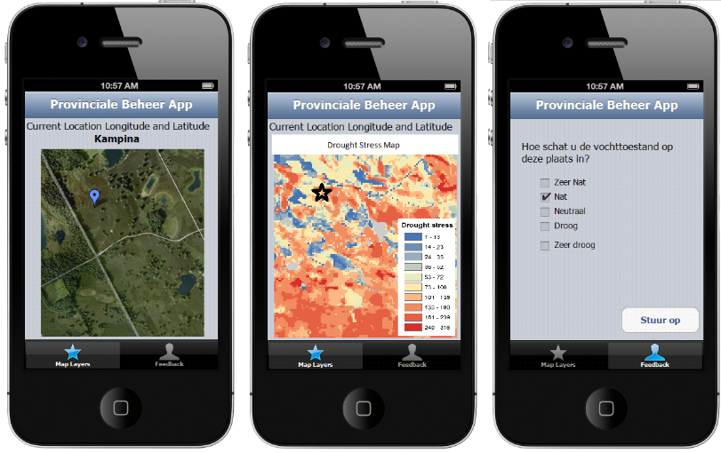
The joint analysis and presentation of the integral results will encourage local and regional managers and surveyors to continue to perform their monitoring and management tasks. Especially so because the results and data will be published on a user-friendly website, where they can also share their own observations and stay up to date on the progress of their colleagues. The smartphone app will support this. Smartphones bring the advantage that these devices know where they are (GPS-coordinates), are very portable, and allow for feedback (two-way communication).
The exact functionality of the smartphone app (iPhone) will be determined in consultation with all project partners. At least however, the app can display spatial data of its current location, as well as time series analysis of that location by accessing the phones GPS receiver. Furthermore, the app will support a feedback component with which the user can report his or her findings. The app will be made compatible with already existing tools, such as the Water Atlas of the Province of Noord-Brabant.
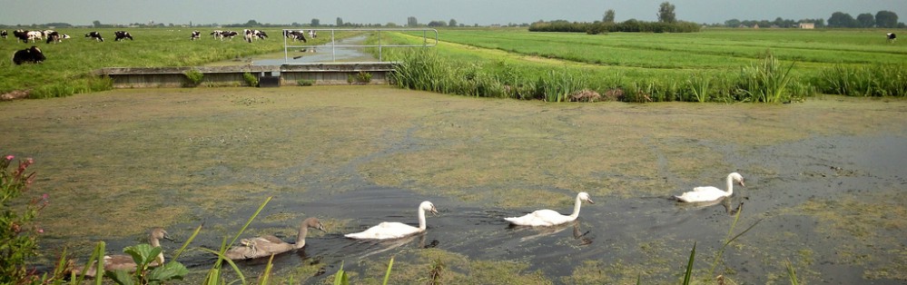
The SWIMM project aims to promote cooperation between policy, implementation and monitoring. The initial three pilot areas are the Kampina, Groote Peel and Brabantse Wal nature reserves. However, the project is designed with scale-up in mind and a generally applicable approach is taken. Many countries are faced with scarcity of geographical data, leaving space borne remote sensing the sole information source for environmental and hydrological analysis. Because SWIMM explicitly incorporates remote sensing data, a high potential for export of SWIMM principles is foreseen.
Gerelateerde publicaties
2015 - Report
 Van Den Eertwegh, G., F. Witte, G. Simons, P. Hoefsloot, P. Droogers. 2015. Van SWIMM-methode naar NatuurVerdrogingsmonitor, Pilot voor drie Natte Natuur Parels in Noord-Brabant. X
Van SWIMM-methode naar NatuurVerdrogingsmonitor
Van Den Eertwegh, G., F. Witte, G. Simons, P. Hoefsloot, P. Droogers

