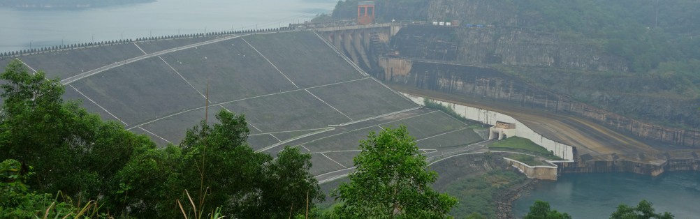
In 2011 the Vietnamese and Dutch government signed a Memorandum of Understanding on the establishment of a Government to Government (G2G) program for improved integrated planning and monitoring of water resources for transboundary water management and disaster risk management. This project was formulated as part of the G2G trajectory towards implementation of an operational decision support system for water resource management and disaster risk management at the Ministry of Natural Resources and Environment (MoNRE). With the infrastructure that was developed during this project, information services based on remote sensing, models and ground observations could be delivered to end users in a clear and visually attractive way. The functionality of the operational decision support system was demonstrated with a pilot project on Basin-wide Multipurpose Reservoir Management (BMRM) for the Da River. FutureWater was the leader of the work package on data collection and validation, and implemented its SPHY model for simulating Da River basin hydrology and inflow to reservoirs.
In 2011 the Vietnamese and Dutch government signed a Memorandum of Understanding on the establishment of a Government to Government (G2G) programme for improved integrated planning and monitoring of water resources for transboundary water management and disaster risk management. Special attention within this cooperation is given to the use of remote sensing and Geographical Information Systems (GIS) for improved monitoring and modelling of (transboundary) water resources. The current project was formulated as part of the G2G trajectory towards implementation of an operational decision support system for water resource management and disaster risk management at the Ministry of Natural Resources and Environment (MoNRE).
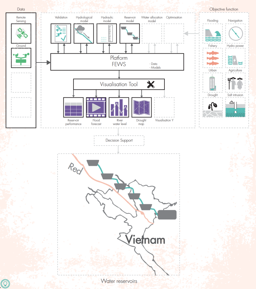
With the infrastructure to be developed, information services based on remote sensing, models and ground observations can be delivered to end users in a clear and visually attractive way. Its functionality will be demonstrated with a pilot project on Basin-wide Multipurpose Reservoir Management (BMRM) for the Da River. The scope of the project is explained in the below figure. The parts with solid lines (e.g. remote sensing, ground data) will be part of this project. A Delft-FEWS platform is implemented that manages the dataflow from Remote Sensing or ground data as well to ensure that available models will run with up-to-date data. Furthermore, a visualization tool is developed for selected end-users.
The main foreseen project results include:
- Infrastructure for integrated water management and disaster risk management implemented at NRSD.
- Integrated model ensemble (hydrological, hydraulic and reservoir) installed in the infrastructure and ready for operation by NRSD.
- Model for creating daily rainfall maps installed in the infrastructure and ready for operation by NRSD.
- Knowledge transferred on operating and managing the infrastructure and using the implemented models.
- First steps taken towards Cooperation between institutions of Vietnam in sharing and applying new technologies in optimizing data acquisition, access to data, and use of data standards.
FutureWater is the leader of the work package on data collection and validation, and will implement its SPHY model for simulating Da River basin hydrology and inflow to reservoirs.

