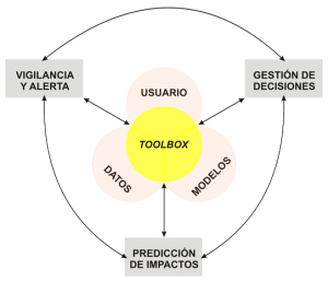
The GEISEQ project aims to develop a Decision Support System for Drought Management integrating a set of tools for: a) the detection, surveillance and monitoring of drought periods, b) the prediction and spatial analysis of their potential impacts, and c) supporting users and decision makers on the best and more efficient management strategies available to mitigate drought consequences. The outcome of the GEISEQ project is a toolbox which makes an efficient use of the data available in the cloud, a set of environmental simulation models, and the human-decision domain through the combination of GIS applications, satellite data acquisition and processing tools, and the adoption of data assimilation techniques.
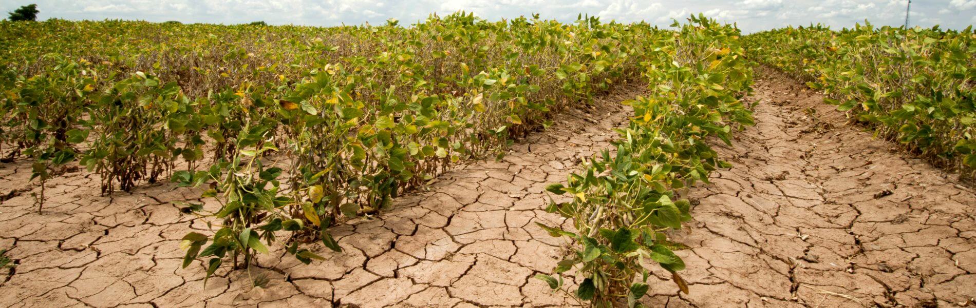
Droughts are prolonged periods in which precipitation amounts are relatively low. The term drought is a relative concept whose definition depends on the geographic and physical domain considered. We distinguish among: a) Meteorological droughts, i.e. extended periods with rainfall values below the average, b) Agricultural droughts when the reduction in soil moisture affects crop production, c) Hydrological droughts when the availability of water in rivers, surface reservoirs and aquifers are reduced, and d) Socioeconomic droughts when this period of low rainfall impacts directly on the human productive systems. The increase in the frequency, intensity and severity of droughts are expected to reduce the ability of our societies to cope with those impacts, threatening their water and food security.
To ensure the environmental and socioeconomic sustainability of semi-arid regions in the world, under climate and land use changes and more recurrent and larger droughts, we need better tools that are able to: a) anticipate and alert us about their onset, and b) predict, and to supply key information on how to effectively manage and mitigate their potential consequences. Nowadays, an increasing amount of satellite data is becoming available for this purpose. Also, computing facilities are becoming more powerful to process these data and incorporate the latest knowledge on the processes involved and possible impacts. At the same time, a major challenge is to to integrate and interpret these data in synthetically, fast and efficient way, and present it in such a way that it becomes useful for the end-user.
The GEISEQ project aims to develop a Decision Support System for Drought Management integrating a set of tools for: a) the detection, surveillance and monitoring of drought periods, b) the prediction and spatial analysis of their potential impacts, and c) supporting users and decision makers on the best and more efficient management strategies available to mitigate drought consequences. The outcome of the GEISEQ project is a toolbox which makes an efficient use of the data available in the cloud, a set of environmental simulation models, and the human-decision domain through the combination of GIS applications, satellite data acquisition and processing tools, and the adoption of data assimilation techniques.
![]()
