The detection of on-site farm reservoirs and ponds in large areas is a complex task that can be addressed through the combination of visual inspection of orthophotos and the application of automatic pixel classification algorithms. This analysis performs a general workflow based on the usage of a Random Forest classifier to identify water bodies in different regions of interest in the Mediterranean basin. The pixel classification and segmentation techniques are implemented using the ilastik software.
The detection of on-site farm reservoirs and ponds in large areas is a complex task that can be addressed through the combination of visual inspection of orthophotos and the application of automatic pixel classification algorithms.
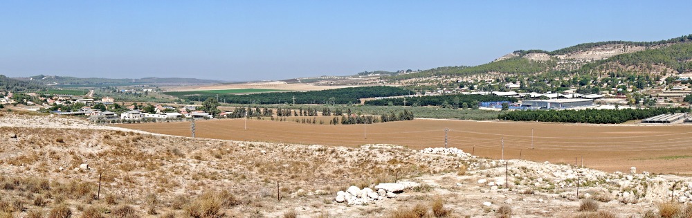
This analysis applied a general workflow to detect and quantify the area and density of on-farm reservoirs and water bodies in three representative Mediterranean irrigated oases in Sicily-Italy, Northern of Morocco, and Israel. For each area of analysis, the most recent orthophotos available were collected from Google Earth, and the ilastik algorithms were implemented for the pixel classification (Random Forest -RF-) and semantic-segmentation. The RF classifier, which is previously applied to a set of filtered imagery and iteratively trained, provides probability maps of different classes that are finally used for quantitative analysis, or the retrieval of a segmentation-categorical (water vs non-water) maps.
Gerelateerde publicaties
2019 - FutureWater Report 186
 Contreras, S. 2019. Detection and coverage estimation of on-farm reservoirs and ponds in Mediterranean irrigated regions using orthophotos and pixel classification techniques. FutureWater Report 186X
Detection and coverage estimation of on-farm reservoirs and ponds in Mediterranean irrigated regions using orthophotos and pixel classification techniques
Contreras, S.