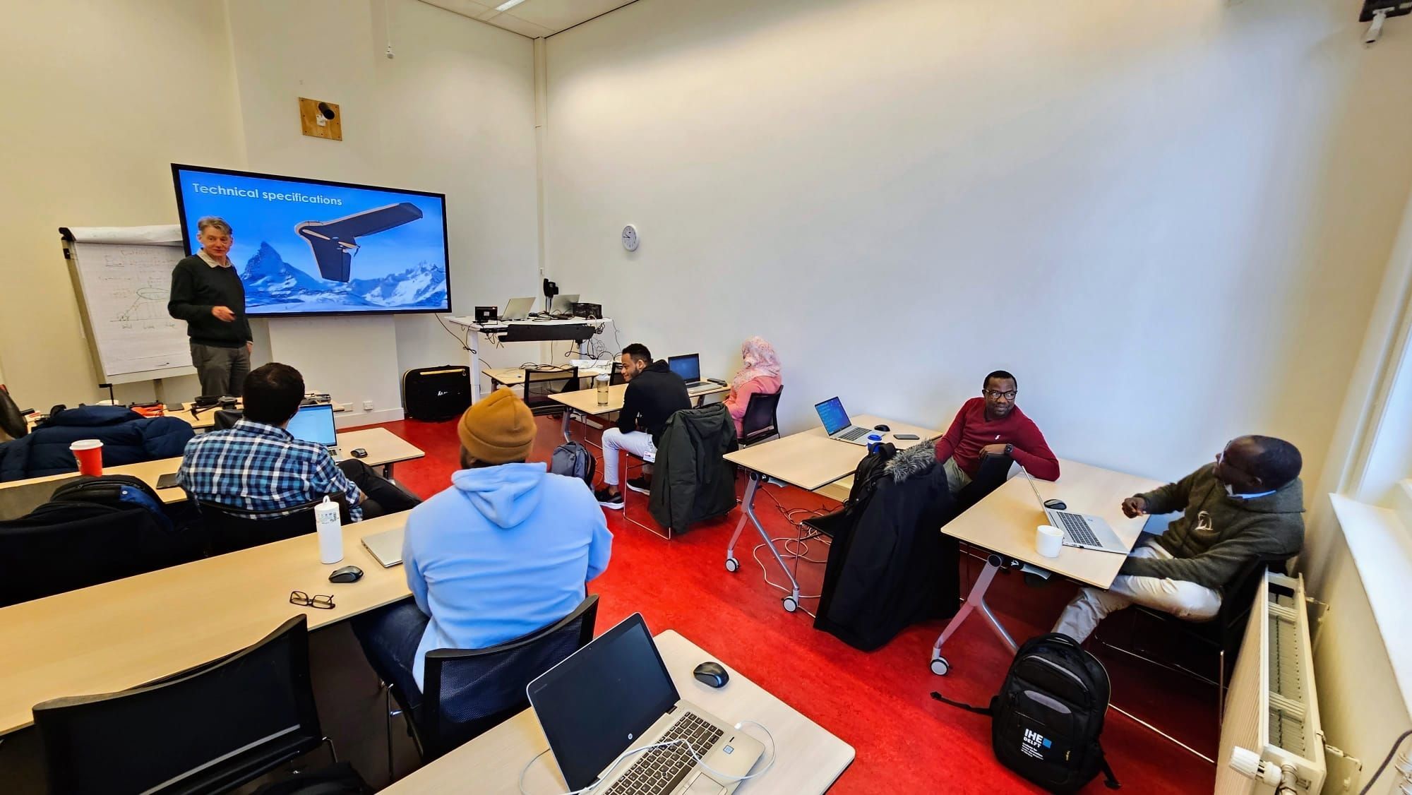
This week FutureWater, together with its partner HiView, gave two days of lectures at IHE Delft Institute for Water Education, which partners with UNESCO. As part of their master degree, seven students were taught on the theory behind flying sensors (also known as drones), the different types of applications and how to use them in an agricultural setting.
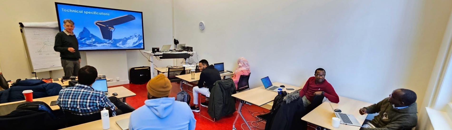
On day 1 an in-class lecture was given on the history, technical specifications and applications of flying sensors, as well as an introduction to image processing and explanation of FutureWater’s diverse drone projects in Africa. Here the flying sensors are mainly used to make NDVI (Normalized Difference Vegetation Index) maps for farmers, that show where the crop is stressed. This stress is indicated by red colors on the map and can indicate a lack of water, nutrients or the abundance of a pest or weeds. Thanks to the special cameras on the flying sensors, this stress can be detected 10 days before it can be observed by the human eye. In this way farmers can be advised before actual crop damage occurs and take preventive measures to ensure a higher yield. Furthermore, farmers can reduce their water, fertilizer and pesticide use by only focusing on problematic zones instead of applying these inputs to their whole field.
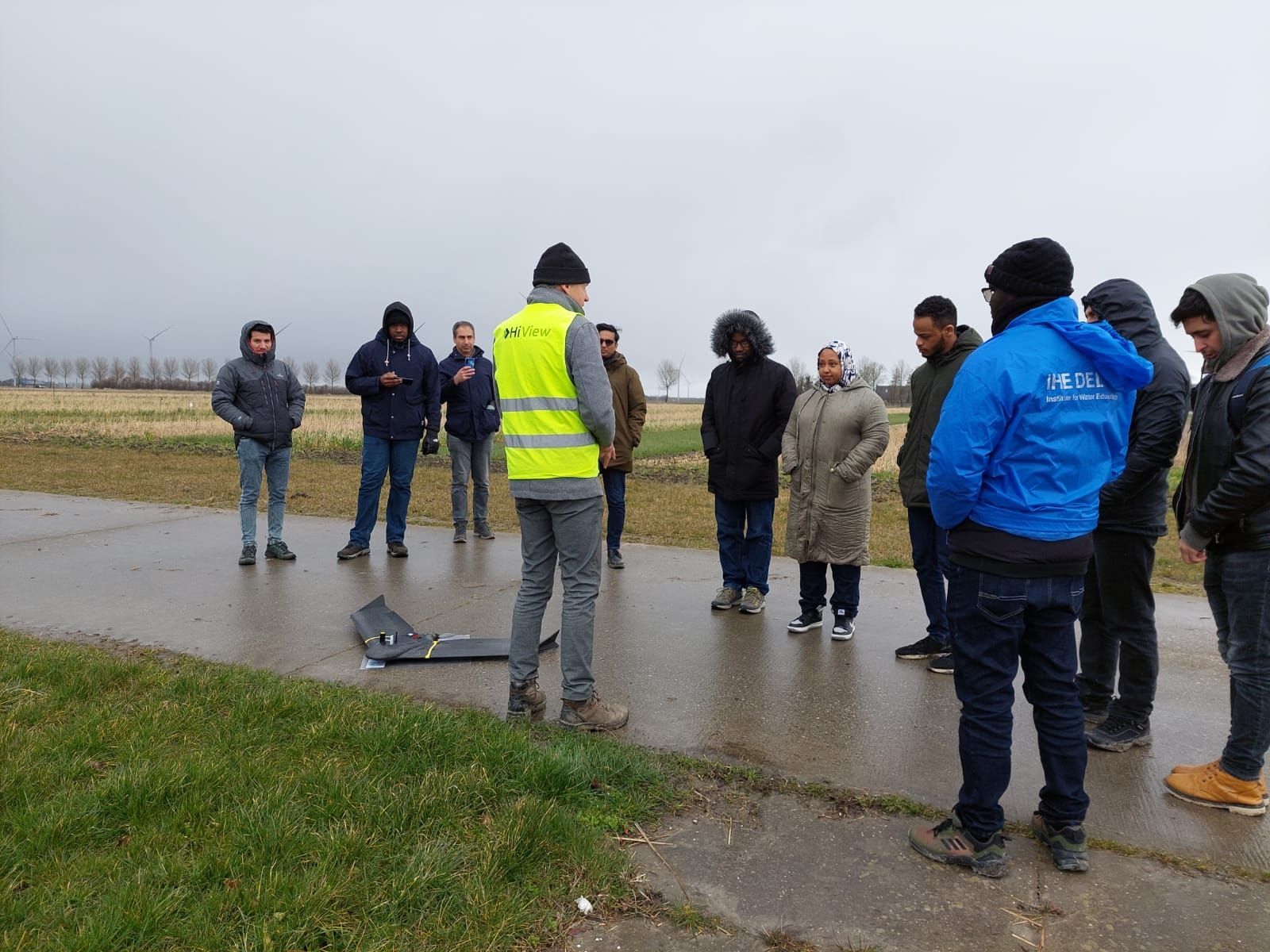
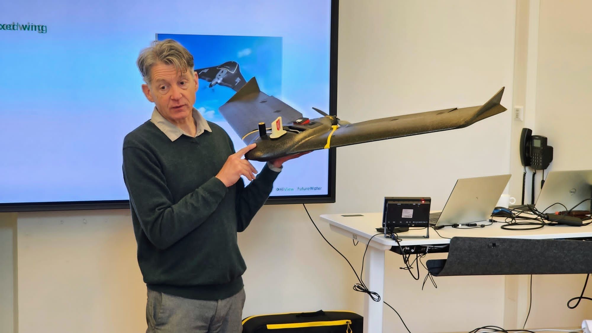
On day 2 of the lectures, an excursion was made to the Farm of the Future, a Dutch initiative in which Wageningen University & Research and Dutch farmers of the future are working together on feasible solutions to the challenges faced by agriculture in the Netherlands. The farm is located in Lelystad, in the Dutch polder province of Flevoland, a region of predominantly arable farming. Despite the rainy weather some drone flights were made, such as with the DJI Mavic 2, a quadcopter, which is very maneuverable and easy to use. This aircraft is also used successfully by FutureWater and HiView in their projects in Kenya and Mozambique. Also the new Rapid Eye XS drone, developed by HiView was demonstrated. This ultra light drone is designed in the first place for the use in small scale agriculture, but has many other potential applications. It can process NDVI imagery on-board, and is very easy to use.