Over the past year, FutureWater has supported Mekong River Commission (MRC) by developing and implementing a set of satellite remote sensing-based methodologies for evaluating the extent of Salinity Intrusion in the Mekong Delta (SIM), as well as the conditions of Riverine, Estuarine and Coastal Habitats (RECH) in the Lower Mekong Basin. The developed methods rely on the use of various open-source datasets as well as Google Earth Engine technology, and play an important role in the data collection for the upcoming MRC Mekong State Of the Basin Report (SOBR) 2023.
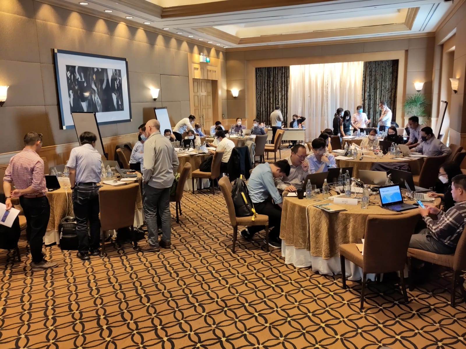
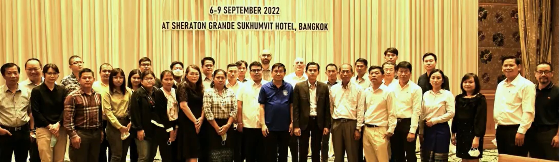
Last week, a four-day regional training was organized by MRC in Bangkok, Thailand, with the overall aim of strengthening the common understanding and capacity of the relevant national line agencies of the MRC Member Countries (Cambodia, Lao PDR, Thailand, and Viet Nam) regarding these novel methodologies for data collection. Regarding the RECH and SIM, Gijs Simons of FutureWater informed the national line agencies of the developed methodologies and their strengths and limitations, presented the draft results for SOBR 2023, and supported the technical staff in obtaining initial hands-on experience with the corresponding data and tools.
The new methodologies were overall well-received as important new tools for evaluation of spatial patterns and temporal dynamics of SIM and RECH monitoring parameters, especially since they allow for cost-effective, consistent and sustainable monitoring as part of the MRC monitoring cycle. A phased approach will be implemented over the coming years to further validate and improve upon the developed methods.