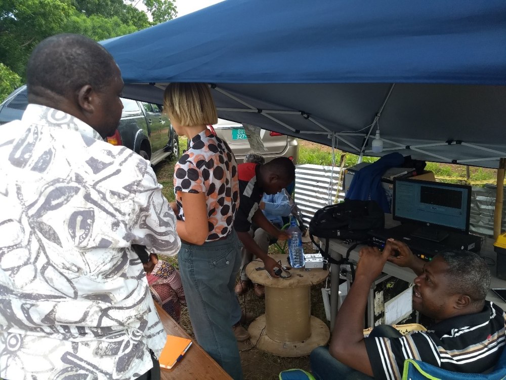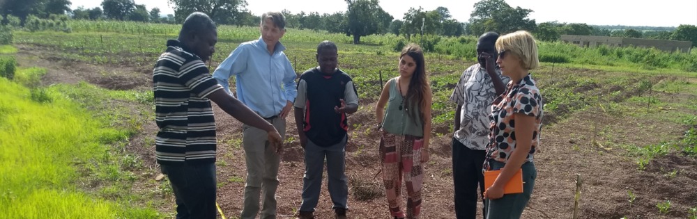
During the last week of August, FutureWater and HiView joined TU Delft and local partners for a scientific field campaign at Nyankpale-Tamale in the northern part of Ghana. This was possible as part of the Horizon 2020 project TWIGA, Transforming Weather Water data into value-added Information services for sustainable Growth in Africa. Hosted by the Savanna Agriculture Research Institute (SARI), a 1000 m long Distributed Temperature Sensing (DTS) cable has been installed at an agricultural field at 5 and 10 cm depths. The DTS measurements provide a temperature profile across the field which can be used to derive soil moisture and can be related to drought and estimates for evaporation. A Trans-African HydroMeteorological Observatory (TAHMO) weather station has also been installed in the field and is continuously collecting weather information and data on soil moisture and soil temperature.
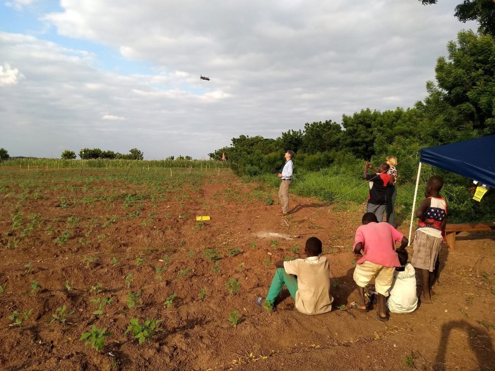
The DTS cable will be kept in the soil for over two years and measurement will take place at the start and end of the rainy seasons. The overall objective is to help improve satellite-derived weather forecasting products (which are often too unreliable around the equator) that can support smallholder farmers in their farm management decisions. FutureWater and HiView contributed to the field campaign by making numerous flights with a flying sensor (UAV) equipped with a thermal camera. The flying sensor and DTS temperature data will be compared with each other and with temperature data captured by satellite imagery, and will serve as high-resolution input for energy balance algorithms to estimate evapotranspiration at field scale.