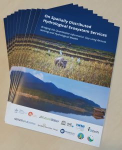
 FutureWater published a white paper to demonstrate that, by leveraging technologies and remote sensing data, Hydrological EcoSystem Services (HESS) at the river basin scale can be effectively described, quantified and compared in space and time. This white paper demonstrates state-of-the-art methods for assessing different HESS and their tradeoffs under different development scenarios. It explores opportunities for spatial monitoring of HESS and predicting changes under different future scenarios, information that is essential for achieving a balanced and healthy agro-ecological system. By relying on tools in the public domain and leveraging the resulting HESS data through online information platforms, this white paper is an excellent example of current efforts supported by WLE Greater Mekong to stimulate uptake of ecosystem services assessments in decision-making processes.
While discussions on the theoretical framework are infinite, it is urgently needed to develop procedures to quantify HESS and make them accessible to a large audience. Such efforts are undertaken, for example, in the CGIAR WLE Greater Mekong and SERVIR-Mekong programs. This white paper demonstrates collaborative efforts that draw from state-of-the-art technologies to achieve this vision of enhanced quality and accessibility of spatially explicit HESS information. The white paper was prepared by FutureWater, Delft University of Technology, SERVIR Mekong, Winrock International, Spatial Informatics Group, IHE-Delft, International Water Management Institute (IWMI), Institute of Water Resources Planning and Google.
One of the ways in which the CGIAR Research Program on Water, Land and Ecosystems (WLE) addresses the challenge of achieving sustainable growth is by improving our understanding of tradeoffs and synergies related to water, food, environment and energy. Essential to the success of these efforts is the availability of quantitative data on these tradeoffs and synergies, and how they vary across space and time. Specifically for the countries sharing the Mekong River, WLE Greater Mekong seeks to drive and inform research and dialogue around the rivers of the region. Hydrological EcoSystem Services (HESS) are heavily affected by intensive development across the region, such as the construction of hydropower dams and land use changes – in particular deforestation, urbanization and agricultural intensification. The full extent of such changes in the agro-ecological system is often unknown, and it is a challenge to account for tradeoffs in HESS in policy processes. As in many other areas of the world, improving governance and management of water resources and associated land and ecosystems in the Greater Mekong region is not only a matter of generating more data. Sharing of knowledge and practices is a key focus of WLE Greater Mekong, which promoted by enhancing the accessibility of valuable information to a wide diversity of regional stakeholders, and promoting dialogue by facilitating the creation of communities of practice.
Click here to download the pdf.
If you like to receive a hard copy please send an email to m.deklerk@futurewater.nl.
This research was funded by the CGIAR Research Program on Water, Land and Ecosystems in the Greater Mekong (WLE-GM, wle-mekong.cgiar.org) and CGIAR Fund Donors (www.cgiar.org/who-we-are/cgiar-fund/fund-donors-2) with support from SERVIR-Mekong (servir.adpc.net). WLE-GM is funded in part by the Australian Government’s Department of Foreign Affairs and Trade.

