As there is an urgent need for informed decision making in ongoing and upcoming land and water resource development plans, the governments of South Sudan and the Netherlands (GoN) initiated a program for the Water Sector in Eastern Equatoria State (ProWasEES). The overall objective of this program is that “Kenate Watershed is managed in an integrated and sustained manner”. In order to reach this objective an integrated land and water resource management (ILWRM) model for scenario development was developed in this project.
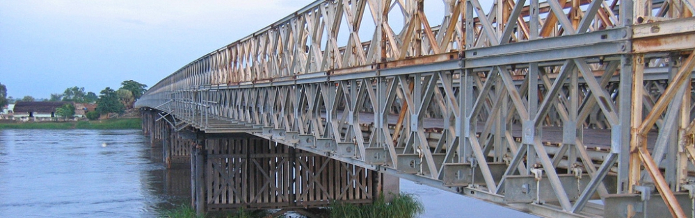
Kenate River is one of the permanent streams draining the Imatong Mountains at the southern border of South Sudan. Administratively the river’s catchment area falls within Torit, Lopa/Lafon and Ikotos Counties of Equatoria State (EES). Torit Township a fast growing urban centre and its demand for domestic water development is sharply increasing. With the settlement of returnees throughout Kenate Catchment also the demand for rural water supply water is growing fast. As a result of uncontrolled opening of new farms in the upper Kenate Catchment, the vegetation cover in the better rainfall areas is under pressure. This together with the fact that valley bottom farming is upcoming in the middle Kenate Catchment , makes that the water supply of downstream population is at risk of deregulation.
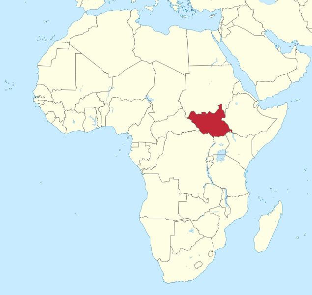
As there is an urgent need for informed decision making in ongoing and upcoming land and water resource development plans, the governments of South Sudan and the Netherlands (GoN) initiated a program for the Water Sector in Eastern Equatoria State (ProWasEES). It aims to contribute to a situation whereby: i) water-related natural resource conflicts are minimized and ii) the population of EES have access to safe drinking water and certified sanitation facilities. Focus will be on the Kenate River which is one of the permanent streams draining the Imatong Mountains at the southern border of South Sudan. Kenate Basin falls within Torit, Lopa/Lafon and Ikotos Counties of Equatoria State. The overall objective of this program is that “Kenate Watershed is managed in an integrated and sustained manner”.
In order to reach this objective there is an urgent need for an integrated land and water resource management (ILWRM) model for scenario development, which FutureWater will develop. Initially it will operate with a limited amount of local data, combined with global public domain data. Data collection for further fine-tuning can follow during operationalizing of the model.
Gerelateerde publicaties
2015 - FutureWater Report 140
 Droogers, P., F.S. de Boer, M. de Klerk, G.W.H. Simons. 2015. Water Resources Model for Kenneti Basin South-Sudan. FutureWater Report 140X
Water Resources Model for Kenneti Basin South-Sudan
Droogers, P., F.S. de Boer, M. de Klerk, G.W.H. Simons