The project ‘A Practical Farmers Toolkit – Geodata for climate smart agriculture in Egypt’ has successfully finished last month. An exciting video was made, which gives a short overview of this agricultural project.
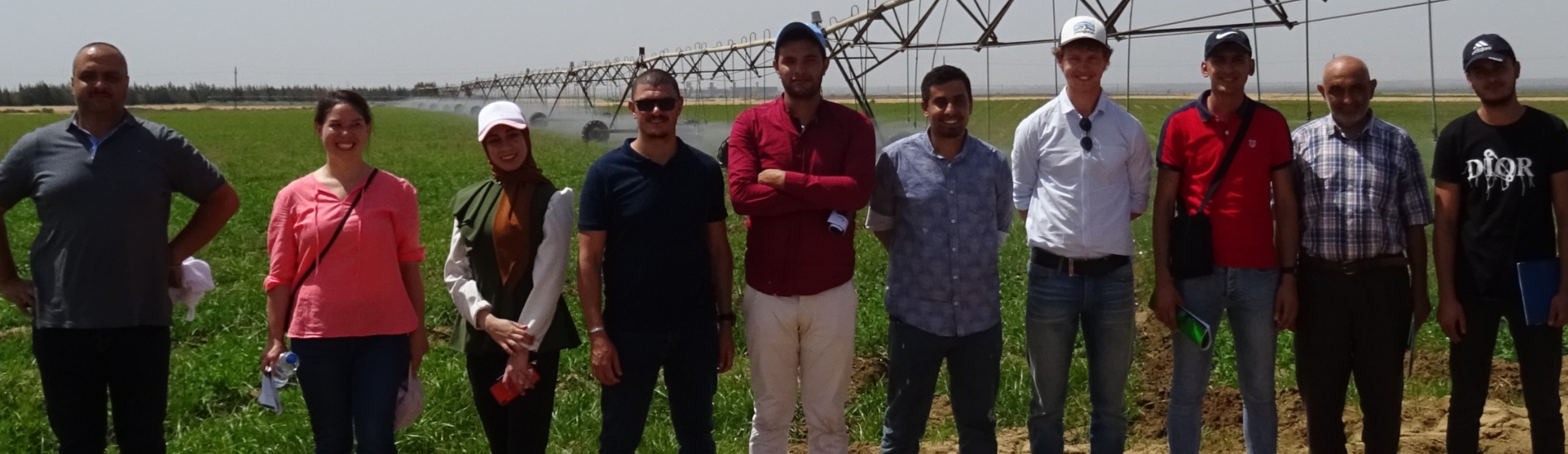
An interactive training programme started in April 2021 with online training, field schools, and group projects. The ‘toolkit’ provided in this project consists of several geodata innovative tools: flying sensors, satellite-derived irrigation advisory services, open-access water productivity data from WaPOR, and climate impact assessment. Together with consortium partners, IrriWatch, Delphy , HiView , and Prof. Ashraf Ghanem from Cairo University, this training program was provided to beneficiary partners (extension officers and agricultural consultants): Tamkeen, BioOasis, FAODA, LEPACHA, and IDAM. A true highlight of this project was running field schools at five locations, which were used to gain practical experience on using geodata tools for day-to-day farm decision-making.
Watch this project video to get an overview of the project and hear about participants sharing their experience from the field schools and the overall project. Downloadable one-pagers give a short summary of different success stories from the field, using the geodata tools: grounded ‘flying’ sensors, WaPOR apps, and IrriWatch advisory services.
Links to downloadable one-pagers:
- Grounded “flying” sensors – Near-infrared cameras for vegetation status monitoring. Download here.
- IrriWatch irrigation advisory – Applications for irrigation and farm management. Download here.
- WaPOR open access data – Data portal and smartphone apps for improved farm management. Download here.
The project video:
