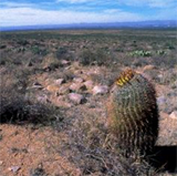
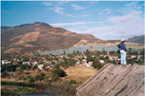
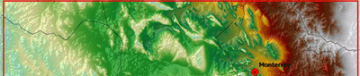
Results 5: Remote Sensing aguascalientes and northern aquifers
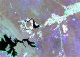
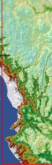
For three areas (Lagunera, Pabellon and Lerma-Chapala) a GIS viewer has been created with the most important Remote Sensing results. Click on the blue areas in the image below to open the viewers.
|
|
|
|
|
|
|
|
|
 |
|
||||||
 |
|
 |
|
||||
 |
|
||||||
|
|
|
 |
|
||||
|
|
 |
 |
|
||||
|
|
|
||||||
|
|
|
||||||
Additonal an actual evapotranspiration animation with bi-monthly images has been created
|
|
|
||||||||
|
|
 |
|
|
||||||
|
|
|
|
|
||||||
|
|
|
|
|
|
|
|
|||
|
|
|
|
|||||||
|
|
|
||||||||
|
|
|
||||||||